Fort Luton, Gillingham
Map

Map

Facts and practical information
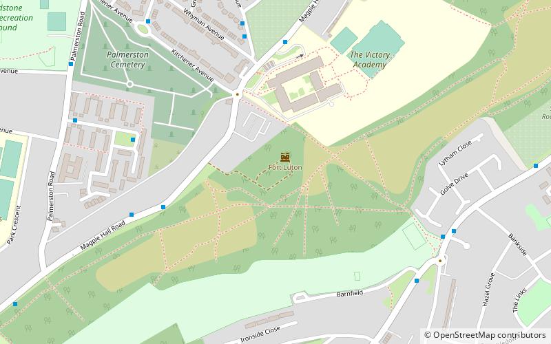
Fort Luton was built between 1876 and 1892 south of Chatham, Medway, South East England. It is one of the five late Victorian land front forts built to defend the overland approaches to Chatham. It is the smallest of the Chatham forts and was built near to the village of Luton. ()
Coordinates: 51°21'57"N, 0°31'51"E
Day trips
Fort Luton – popular in the area (distance from the attraction)
Nearby attractions include: Pentagon Shopping Centre, Chatham Naval Memorial, Chatham Golf Range, Old Brook Pumping Station.
Frequently Asked Questions (FAQ)
How to get to Fort Luton by public transport?
The nearest stations to Fort Luton:
Train
Bus
Train
- Chatham (28 min walk)
Bus
- Medway Maritime Hospital • Lines: 116, 120 (28 min walk)
- Chatham Railway Station • Lines: 100, 190, 700 (28 min walk)


