Chatham Golf Range, Gillingham


Facts and practical information
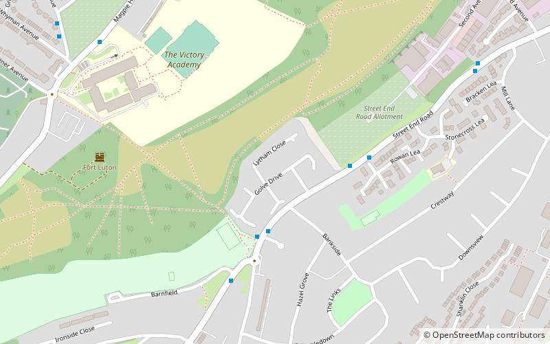
Chatham Golf Range (address: Street End Road) is a place located in Gillingham (England kingdom) and belongs to the category of golf.
It is situated at an altitude of 141 feet, and its geographical coordinates are 51°21'57"N latitude and 0°32'12"E longitude.
Planning a visit to this place, one can easily and conveniently get there by public transportation. Chatham Golf Range is a short distance from the following public transport stations: Jezreels (bus, 24 min walk), Chatham (train, 31 min walk).
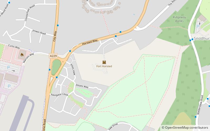
Among other places and attractions worth visiting in the area are: Fort Luton (forts and castles, 7 min walk), Fort Horsted (forts and castles, 29 min walk), Capstone Farm Country Park (park, 30 min walk).
Chatham Golf Range – popular in the area (distance from the attraction)
Nearby attractions include: Pentagon Shopping Centre, Chatham Naval Memorial, Old Brook Pumping Station, Capstone Farm Country Park.
Frequently Asked Questions (FAQ)
How to get to Chatham Golf Range by public transport?
Bus
- Jezreels • Lines: 116 (24 min walk)
- Municipal Buildings • Lines: 116 (25 min walk)
Train
- Chatham (31 min walk)


