Laira Bridge, Bere Ferrers
Map

Gallery

Facts and practical information
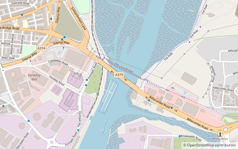
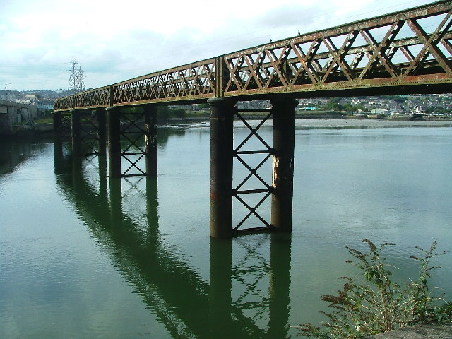
Laira Bridge is a disused railway bridge that crosses the River Plym in the city of Plymouth, Devon, England. In 2015, it was refurbished to carry a pedestrian and cycle path. ()
Coordinates: 50°22'8"N, 4°6'32"W
Address
Sutton and Mount GouldBere Ferrers
ContactAdd
Social media
Add
Day trips
Laira Bridge – popular in the area (distance from the attraction)
Nearby attractions include: National Marine Aquarium, Saltram House, Barbican, Sutton Harbour.
Frequently Asked Questions (FAQ)
Which popular attractions are close to Laira Bridge?
Nearby attractions include Plymouth Christian Centre, Bere Ferrers (17 min walk), Plymouth Barbican Leisure Park, Bere Ferrers (19 min walk), Radford Cave, Bere Ferrers (20 min walk), Church of St John the Evangelist, Bere Ferrers (22 min walk).
How to get to Laira Bridge by public transport?
The nearest stations to Laira Bridge:
Bus
Bus
- Cattedown Roundabout • Lines: Falcon (17 min walk)
- Astor Playing Field • Lines: Falcon (17 min walk)


