Hertsmere Borough Council, Borehamwood
Map

Map

Facts and practical information
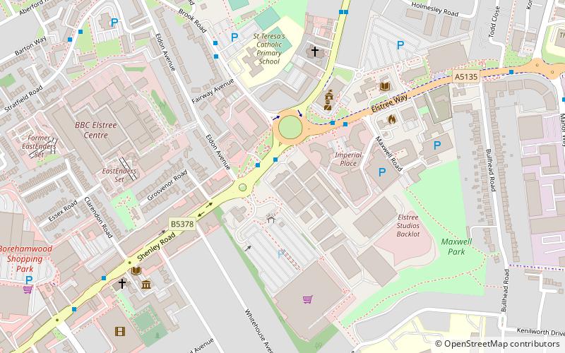
Hertsmere Borough Council is the local authority for the Hertsmere non-metropolitan district of England, the United Kingdom. Hertsmere is located in the south of Hertfordshire, in the East of England region. The Council itself is based in Borehamwood, the largest settlement in the district. ()
Coordinates: 51°39'29"N, 0°16'12"W
Address
Borehamwood
ContactAdd
Social media
Add
Day trips
Hertsmere Borough Council – popular in the area (distance from the attraction)
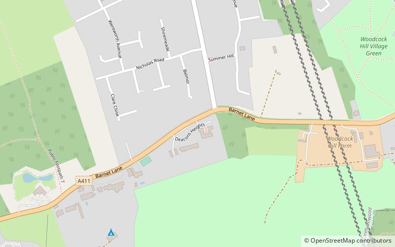
Nearby attractions include: Meadow Park, Dinosaur Safari Adventure Golf, Elstree Studios, Woodcock Hill Village Green.
Frequently Asked Questions (FAQ)
Which popular attractions are close to Hertsmere Borough Council?
Nearby attractions include Maxwell Park Community Centre, Borehamwood (6 min walk), Elstree Studios, Borehamwood (7 min walk), All Saints church, Borehamwood (7 min walk), Meadow Park, Borehamwood (8 min walk).
How to get to Hertsmere Borough Council by public transport?
The nearest stations to Hertsmere Borough Council:
Bus
Train
Bus
- Elstree Studios • Lines: 107, 292, 306, 306A, 644 (1 min walk)
- Borehamwood Tesco • Lines: 107, 292, 306, 306A, 398, 644 (2 min walk)
Train
- Elstree & Borehamwood (15 min walk)


