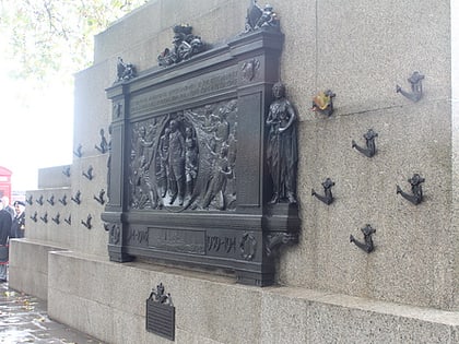
Blackfriars Bridge, London
Map
Gallery
Facts and practical information
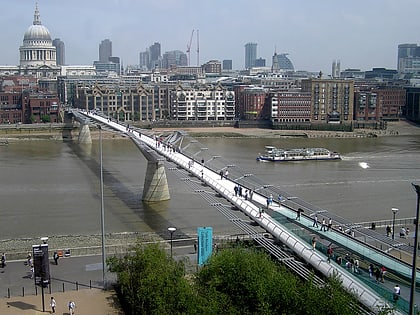
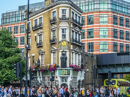
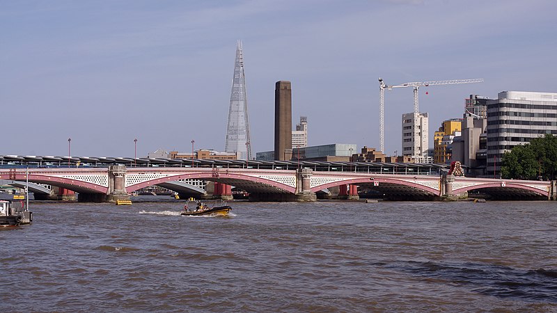
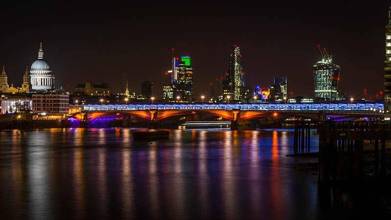
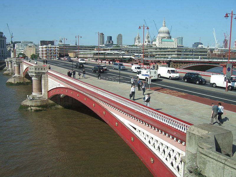
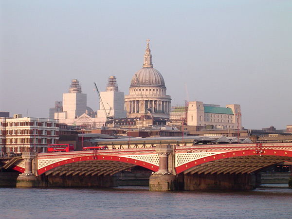
Blackfriars Bridge is a road and foot traffic bridge over the River Thames in London, between Waterloo Bridge and Blackfriars Railway Bridge, carrying the A201 road. The north end is near the Inns of Court and Temple Church, along with Blackfriars station. The south end is near the Tate Modern art gallery and the Oxo Tower. ()
Alternative names: Opened: 1769 (257 years ago)Length: 923 ftWidth: 105 ftCoordinates: 51°30'33"N, 0°6'16"W
Address
Blackfriars BridgeSouthwark (Cathedrals)London E C4Y
ContactAdd
Social media
Add
Day trips
Blackfriars Bridge – popular in the area (distance from the attraction)
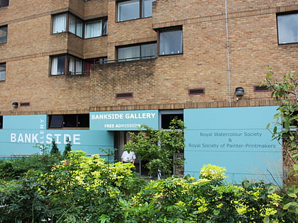
Nearby attractions include: Tate Modern, Millennium Bridge, Bankside Gallery, Oxo Tower.
Frequently Asked Questions (FAQ)
Which popular attractions are close to Blackfriars Bridge?
Nearby attractions include Blackfriars Railway Bridge, London (2 min walk), One Blackfriars, London (3 min walk), Bankside Gallery, London (4 min walk), South Bank Tower, London (4 min walk).
How to get to Blackfriars Bridge by public transport?
The nearest stations to Blackfriars Bridge:
Train
Ferry
Metro
Bus
Light rail
Train
- London Blackfriars (3 min walk)
- Waterloo East (10 min walk)
Ferry
- Blackfriars Pier • Lines: Rb6 (5 min walk)
- Bankside Pier • Lines: Green Tour, Rb1, Rb1X, Rb2 (9 min walk)
Metro
- Southwark • Lines: Jubilee (9 min walk)
- Mansion House • Lines: Circle, District (12 min walk)
Bus
- City Thameslink Station / Ludgate Circus • Lines: 26, N26 (9 min walk)
- Ludgate Circus • Lines: 26, N26 (10 min walk)
Light rail
- Bank Platform 10 • Lines: B-L, B-Wa (19 min walk)


 Tube
Tube
