Queen Alexandra Bridge, Sunderland
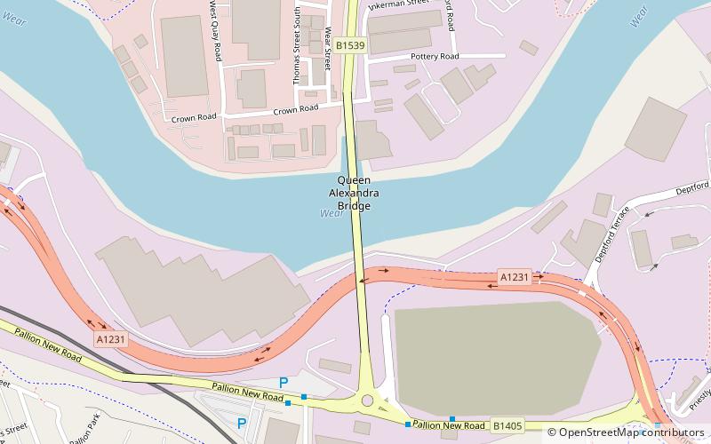
Map

Gallery

Facts and practical information
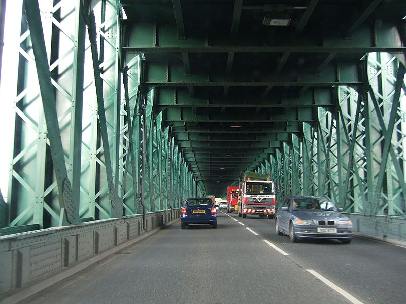
The Queen Alexandra Bridge is a road traffic, pedestrian and former railway bridge spanning the River Wear in North East England, linking the Deptford and Southwick areas of Sunderland. The steel truss bridge was designed by Charles A. Harrison. It was built by Sir William Arrol between 1907 and 1909 and officially opened by The Earl of Durham, on behalf of Queen Alexandra on 10 June 1909. ()
Coordinates: 54°54'49"N, 1°24'21"W
Address
Sunderland
ContactAdd
Social media
Add
Day trips
Queen Alexandra Bridge – popular in the area (distance from the attraction)
Nearby attractions include: Stadium of Light, Sunderland Aquatic Centre, The Bridges, Sunderland Museum and Winter Gardens.
Frequently Asked Questions (FAQ)
Which popular attractions are close to Queen Alexandra Bridge?
Nearby attractions include Stadium of Light, Sunderland (18 min walk), Northern Spire Bridge, Sunderland (21 min walk), National Glass Centre, Sunderland (22 min walk), Sunderland Empire Theatre, Sunderland (22 min walk).
How to get to Queen Alexandra Bridge by public transport?
The nearest stations to Queen Alexandra Bridge:
Bus
Light rail
Bus
- Pallion New Road-Woodbine Terrace-E/B • Lines: Sns (11 min walk)
- St Mary's Way • Lines: 135 (25 min walk)
Light rail
- Pallion • Lines: Green (13 min walk)
- Millfield • Lines: Green (14 min walk)


