West Sedgemoor
Map

Gallery

Facts and practical information
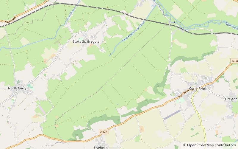
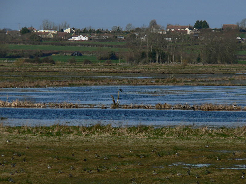
West Sedgemoor or West Sedge Moor is an area of the Somerset Levels, in Somerset, England, around 8 miles east of Taunton, which approximately coincides with the West Sedgemoor biological Site of Special Scientific Interest, a 1,016 hectare site notified as an SSSI in 1983. It is a flat, low-lying area of fields and meadows separated by water-filled rhynes and ditches. It is subject to controlled flooding in winter. It is drained by the River Parrett. ()
Area: 3.92 mi²Elevation: 16 ft a.s.l.Coordinates: 51°1'41"N, 2°54'48"W
Location
England
ContactAdd
Social media
Add
Day trips
West Sedgemoor – popular in the area (distance from the attraction)
Nearby attractions include: Burrow Mump, Church of St Peter and St Paul, Church of All Saints, The Priest's House.


