Whitefriars, Gloucester

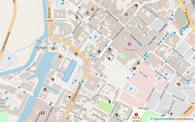
Map
Facts and practical information
Whitefriars, also known as White Friers or The College of Carmelites, Gloucester, England, was a Carmelite friary of which nothing now survives. ()
Coordinates: 51°51'56"N, 2°14'23"W
Address
Gloucester
ContactAdd
Social media
Add
Getting there by public transportation
Public transportation stops near this location
- Train
 Train
Train
- Calculate routeGloucester 2 min walk
Day trips


Frequently Asked Questions (FAQ)
Which popular attractions are close to Whitefriars?
Nearby attractions include Wellington Parade, Gloucester (4 min walk), Kings Square, Gloucester (4 min walk), St Peter's Church, Gloucester (4 min walk), The Kings Theatre Gloucester, Gloucester (6 min walk).
How to get to Whitefriars by public transport?
The nearest stations to Whitefriars:
Train
Train
- Gloucester (2 min walk)