Wirral Waters, Liverpool
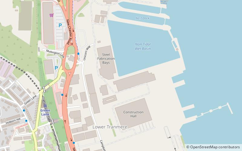
Map

Map

Facts and practical information
Wirral Waters is a large scale £4.5bn development that has been proposed by the Peel Group for Birkenhead, on the Wirral Peninsula, England. It is the sister programme of the Liverpool Waters project. Since 2012 the two projects have enjoyed enterprise zone status, together forming the Mersey Waters Enterprise Zone. ()
Coordinates: 53°23'5"N, 3°0'39"W
Day trips
Wirral Waters – popular in the area (distance from the attraction)
Nearby attractions include: Prenton Park, Cream, Echo Arena Liverpool, Wirral Tramway.
Frequently Asked Questions (FAQ)
Which popular attractions are close to Wirral Waters?
Nearby attractions include Monument to the Mersey Tunnel, Liverpool (8 min walk), Birkenhead Priory, Liverpool (9 min walk), Birkenhead Town Hall, Liverpool (14 min walk), St Werburgh's Church, Liverpool (15 min walk).
How to get to Wirral Waters by public transport?
The nearest stations to Wirral Waters:
Train
Bus
Tram
Train
- Green Lane (7 min walk)
- Birkenhead Central (13 min walk)
Bus
- Woodsie Bus Station (19 min walk)
Tram
- Woodside Ferry • Lines: Wirral Tramway (19 min walk)
- Shore Road • Lines: Wirral Tramway (22 min walk)


