Witton Country Park, Blackburn

Gallery (1)
Map
Map
Facts and practical information
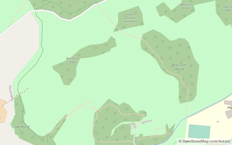
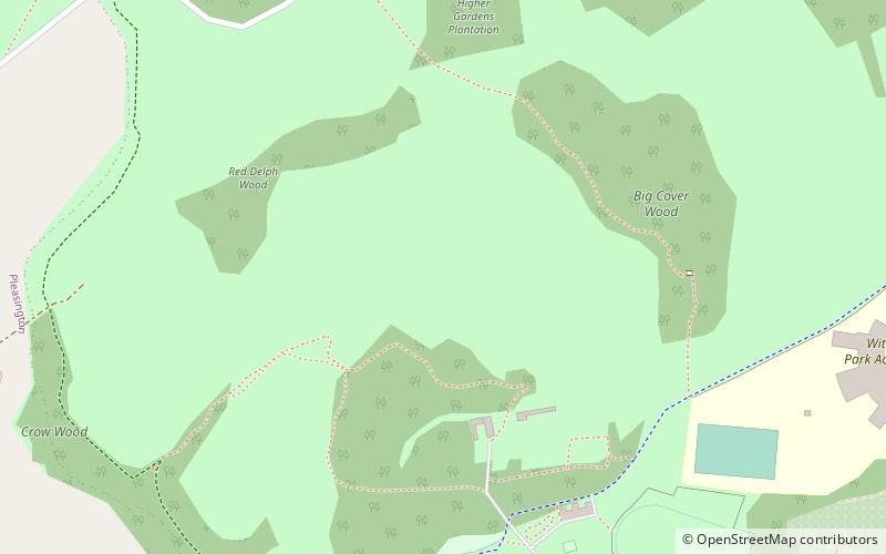
Witton Country Park is a 480-acre public park in the west of Blackburn, Lancashire, England. Around half of the country park is mixed woodland and parkland, while the rest is either farmland or rough grassland with open access. A visitors' centre features stables with exhibitions of old horse-drawn farm machinery, farm hand-tools and a natural history room. A mammal centre houses shrews, voles, ferrets, rabbits and other animals, which are on display. ()
Elevation: 446 ft a.s.l.Coordinates: 53°44'37"N, 2°31'11"W
Address
Blackburn
ContactAdd
Social media
Add
Getting there by public transportation
Public transportation stops near this location
- Bus
- Train
 Bus
Bus
- Calculate routePleasington Cemetery 13 min walk
- Calculate routeCecilia Road 16 min walk
- Calculate routeBulls Head 17 min walk
- Calculate routeThe Crescent 24 min walk
- Calculate routeCherry Tree 19 min walk
- Calculate routeMill Hill 24 min walk
- Calculate routePleasington 34 min walk
Day trips


Frequently Asked Questions (FAQ)
Which popular attractions are close to Witton Country Park?
Nearby attractions include St Mark's Church, Blackburn (12 min walk), St Silas' Church, Blackburn (19 min walk).
How to get to Witton Country Park by public transport?
The nearest stations to Witton Country Park:
Bus
Train
Bus
- Pleasington Cemetery • Lines: 2A (13 min walk)
- Cecilia Road • Lines: 2A (16 min walk)
Train
- Cherry Tree (19 min walk)
- Mill Hill (24 min walk)