Witton Weavers Way, Blackburn
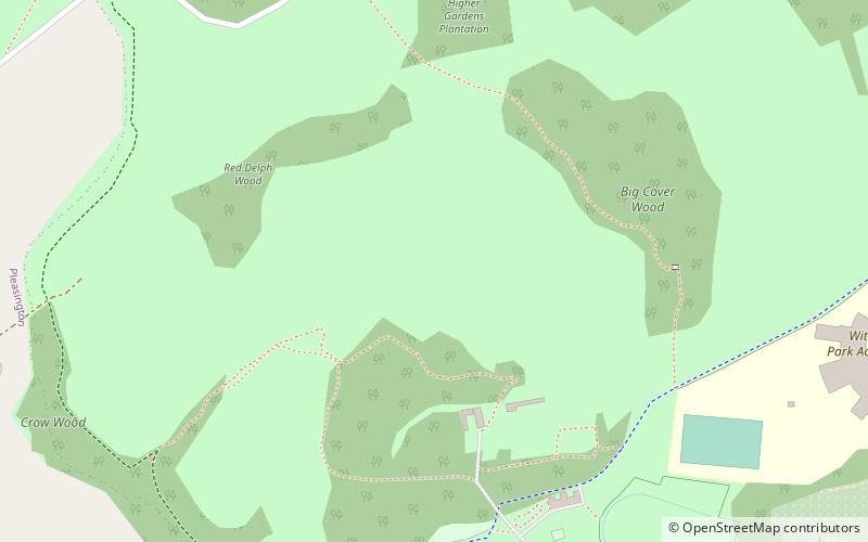
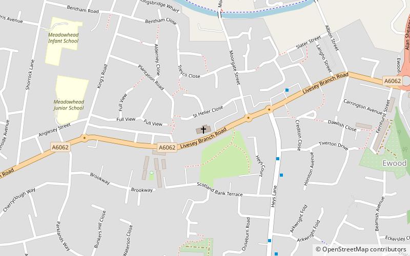
Map
Facts and practical information
Witton Weavers Way is a waymarked long-distance footpath in Lancashire in England. ()
Coordinates: 53°44'35"N, 2°31'9"W
Address
Blackburn
ContactAdd
Social media
Add
Getting there by public transportation
Public transportation stops near this location
- Bus
- Train
 Bus
Bus
- Calculate routePleasington Cemetery 12 min walk
- Calculate routeCecilia Road 15 min walk
- Calculate routeBulls Head 16 min walk
- Calculate routeThe Crescent 23 min walk
- Calculate routeCherry Tree 18 min walk
- Calculate routeMill Hill 23 min walk
- Calculate routePleasington 34 min walk
Day trips


Frequently Asked Questions (FAQ)
Which popular attractions are close to Witton Weavers Way?
Nearby attractions include Witton Country Park, Blackburn (2 min walk), St Mark's Church, Blackburn (12 min walk), St Silas' Church, Blackburn (20 min walk).
How to get to Witton Weavers Way by public transport?
The nearest stations to Witton Weavers Way:
Bus
Train
Bus
- Pleasington Cemetery • Lines: 2A (12 min walk)
- Cecilia Road • Lines: 2A (15 min walk)
Train
- Cherry Tree (18 min walk)
- Mill Hill (23 min walk)