Zouches Farm transmitting station, Dunstable
Map
Facts and practical information
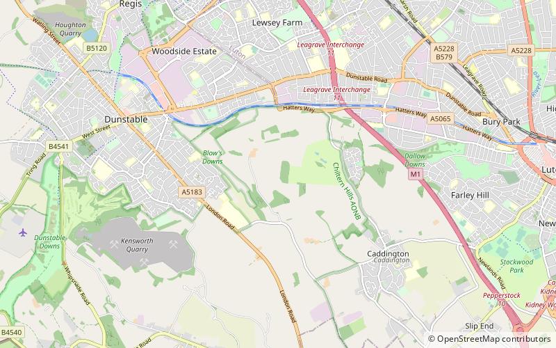
Zouches Farm transmitting station is a microwave radio link site located near the top of Blows Downs at Zouches Farm, Caddington, Bedfordshire, England. It was part of the London to Birmingham chain designed in the 1940s, and is now owned and maintained by BT Group. ()
Coordinates: 51°52'40"N, 0°29'0"W
Address
Dunstable
ContactAdd
Social media
Add
Getting there by public transportation
Public transportation stops near this location
- Bus
 Bus
Bus
- Calculate routeHalfway Avenue 33 min walk
- Calculate routeSimpson Close 34 min walk
Day trips


Frequently Asked Questions (FAQ)
How to get to Zouches Farm transmitting station by public transport?
The nearest stations to Zouches Farm transmitting station:
Bus
Bus
- Halfway Avenue • Lines: 737 (33 min walk)
- Simpson Close • Lines: 737 (34 min walk)