Lea Valley Walk, Luton
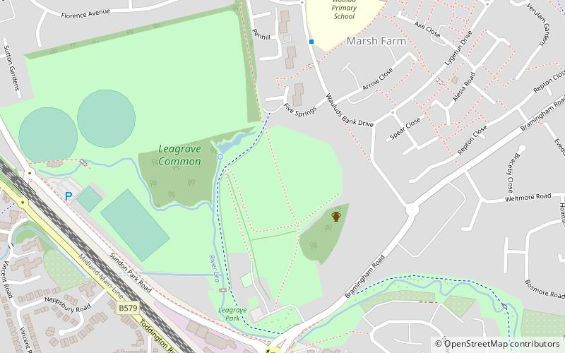
Map
Gallery
Facts and practical information
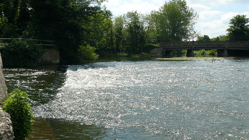
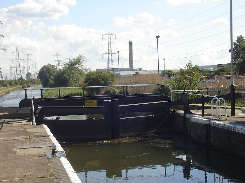
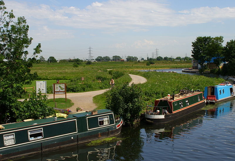
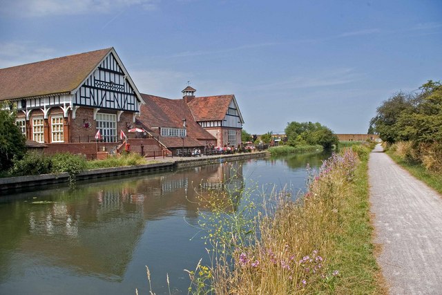
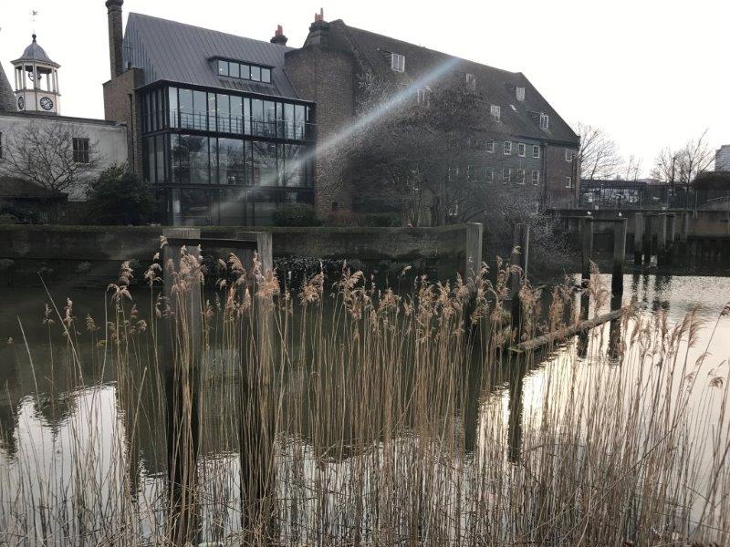
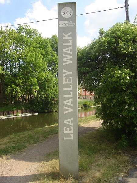
The Lea Valley Walk is a 50-mile long-distance path located between Leagrave, the source of the River Lea near Luton, and the Thames, at Limehouse Basin, Limehouse, east London. From its source much of the walk is rural. At Hertford the path follows the towpath of the River Lee Navigation, and it becomes increasingly urbanised as it approaches London. The walk was opened in 1993 and is waymarked throughout using a swan logo. ()
Season: All yearCoordinates: 51°54'37"N, 0°27'40"W
Address
Sundon ParkLuton
ContactAdd
Social media
Add
Day trips
Lea Valley Walk – popular in the area (distance from the attraction)
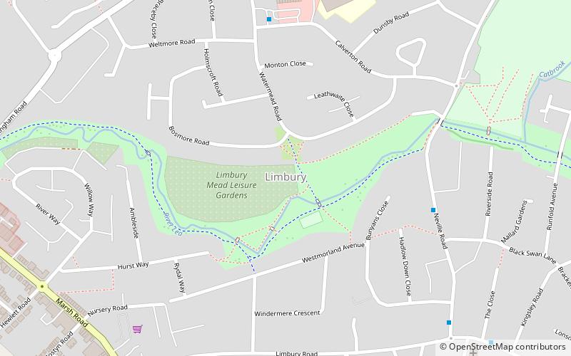
Nearby attractions include: Waulud's Bank, Luton/Dunstable Urban Area, Sundon Park, Limbury.
Frequently Asked Questions (FAQ)
Which popular attractions are close to Lea Valley Walk?
Nearby attractions include Waulud's Bank, Luton (4 min walk), Sundon Park, Luton (16 min walk), Limbury, Luton (16 min walk).
How to get to Lea Valley Walk by public transport?
The nearest stations to Lea Valley Walk:
Train
Train
- Leagrave (10 min walk)


