Batchworth Heath
Map

Map

Facts and practical information
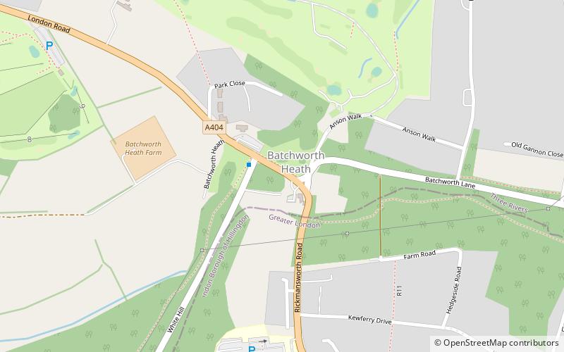
Batchworth Heath is 4 hectares of designated common land in Rickmansworth, Hertfordshire, around the junction of Batchworth Heath Hill, Batchworth Lane and White Hill, owned and managed by Three Rivers District Council. The habitat is heathland with an ancient pond and rich wildlife. Since July 2015 the site has been listed by Natural England as a Local Nature Reserve, but according to Three Rivers Council this is an error and they have asked Natural England to remove it from the list. ()
Elevation: 361 ft a.s.l.Coordinates: 51°37'13"N, 0°26'40"W
Location
England
ContactAdd
Social media
Add
Day trips
Batchworth Heath – popular in the area (distance from the attraction)
Nearby attractions include: Moor Park, Sandy Lodge Golf Club, The Withey Beds, The More.


