Inverie
Map

Map

Facts and practical information
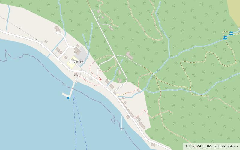
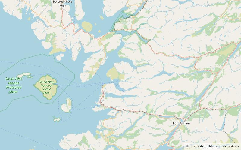
Inverie is the main village on the Knoydart peninsula in the Scottish Highlands. It is located on the north side of Loch Nevis and, although on the mainland of Britain, the network of single-track roads surrounding the village is not connected to the rest of the road network. Inverie is only reachable by a 17-mile hike over mountainous terrain or by a regular 7 mi ferry from Mallaig. This physical isolation gives the village a Guinness National Record for remoteness within the United Kingdom. ()
Coordinates: 57°2'18"N, 5°40'58"W
Location
Scotland
ContactAdd
Social media
Add
Day trips
Inverie – popular in the area (distance from the attraction)
Nearby attractions include: Ladhar Bheinn, Mallaig Heritage Centre, Knoydart Seabridge, Morar Railway Viaduct.


