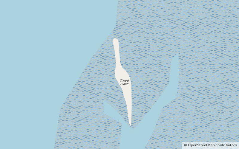
Chapel Island
Map

Map

Facts and practical information
Chapel Island is a limestone outcrop that lies in the Leven estuary of Morecambe Bay in England, less than one mile from the shoreline at Bardsea in the area known as Ulverston Sands. It is located at 54.1741°N 3.0416°W / 54.1741; -3.0416. It is one of the Islands of Furness in the county of Cumbria, in the area of the historic county of Lancashire. The island is approximately 450 yards long and just over 100 yards at its widest. Its area is about 7.5 acres. ()
Archipelago: British IslesCoordinates: 54°10'27"N, 3°2'30"W
Location
England
ContactAdd
Social media
Add
Day trips
Chapel Island – popular in the area (distance from the attraction)
Nearby attractions include: Cartmel Racecourse, South Lakes Safari Zoo, Cumbria Way, Cartmel Priory.


