Llandybie
#7558 among destinations in the United Kingdom

Facts and practical information
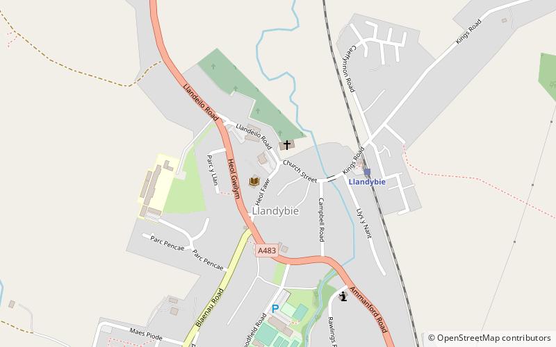
Llandybie is a community which includes a large village of the same name situated 2 miles north of Ammanford in Carmarthenshire, Wales. ()
WalesUnited Kingdom
Llandybie plan & book
Unleash the traveler in you — discover the cheapest flight deals, find the perfect hotel or hostel nearby, and search for the best car rental prices. Travel at your own pace to discover new places and enjoy your journey.
Llandybie – popular in the area (distance from the attraction)
Nearby attractions include: Carreg Cennen Castle, Dinefwr Castle, Newton House, Dinefwr.
 Forts and castles, Historical place, View point
Carreg Cennen Castle, Brecon Beacons
98 min walk • Carreg Cennen Castle is a castle sited on a high rocky outcrop overlooking the River Cennen, close to the village of Trap, four miles south of Llandeilo in Carmarthenshire, Wales.
 12th-century castle with scenic views
Dinefwr Castle, Llandeilo
100 min walk • Dinefwr Castle is a ruined castle overlooking the River Tywi near the town of Llandeilo, Carmarthenshire, Wales. It lies on a ridge on the northern bank of the Tywi, with a steep drop of one hundred feet to the river.
 Park, Reportedly haunted, History museum
Newton House, Llandeilo
112 min walk • Newton House is a Grade II* listed country house situated just to the west of the market town of Llandeilo in Carmarthenshire, Wales.
 Archaeological site
Dinefwr, Llandeilo
105 min walk • Dinefwr Park National Nature Reserve is an 800 acres estate about 1.5 kilometres from the centre of Llandeilo in Carmarthenshire owned by the National Trust, with a mansion in the centre. The highest point is occupied by the ruined Dinefwr Castle, ancient castle of the Deheubarth kingdom.
 Park
ParkGelli Aur country park, Llandeilo
78 min walk • Gelli Aur is a country park with 60 acres of wooded parkland surrounding Golden Grove mansion. It was once the home of the Vaughan and Cawdor families.
 Bridge
Bridge Street, Llandeilo
104 min walk • Llandeilo Bridge is a Grade II* listed road bridge crossing the River Towy in Llandeilo, Carmarthenshire, Wales. It carries the main A483 road towards Ffairfach.
 Church
St Teilo's Church, Llandeilo
109 min walk • The St Teilo's Church, is an Anglican parish church in the town of Llandeilo, Carmarthenshire, Wales. The fabric of the building has medieval origins but stands on a much older site and was rebuilt in the early eighteenth century.
 Nature, Hill, Natural attraction
Grongar Hill
120 min walk • Grongar Hill is located in the Welsh county of Carmarthenshire and was the subject of a loco-descriptive poem by John Dyer. Published in two versions in 1726, during the Augustan period, its celebration of the individual experience of the landscape makes it a precursor of Romanticism.
 Church, Gothic Revival architecture
All Saints Church, Ammanford
48 min walk • All Saints Church, Ammanford is an Anglican parish church in the town of Ammanford, Carmarthenshire, Wales. It was erected between 1911 and 1915 by W. D. Jenkins of Llandeilo. The tower was added between 1924 and 1926 as a war memorial, this time the architect being Charles Mercer of Swansea.
 Nature, Natural attraction, Mountain
Tair Carn Uchaf, Brecon Beacons
106 min walk • Tair Carn Uchaf is a hill in the Brecon Beacons National Park in the county of Carmarthenshire, Wales. Its summit sits atop a plateau-like ridge at 482 metres above sea level and is marked by one of the three huge cairns which give the mountain its name.
 Church
St Tyfi's Church, Llandeilo
106 min walk • St Tyfi's Church is the former parish church of Llandyfeisant, near Llandeilo and part of the Dinefwr Park estate in Carmarthenshire, Wales. It was dedicated to the Welsh saint Tyfei, nephew of Saint Teilo.


