Tair Carn Uchaf, Brecon Beacons
#57 among attractions in Brecon Beacons


Facts and practical information
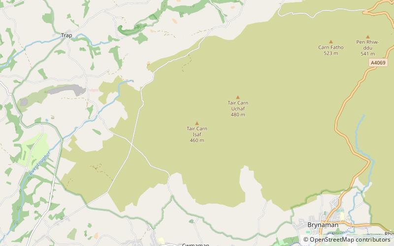
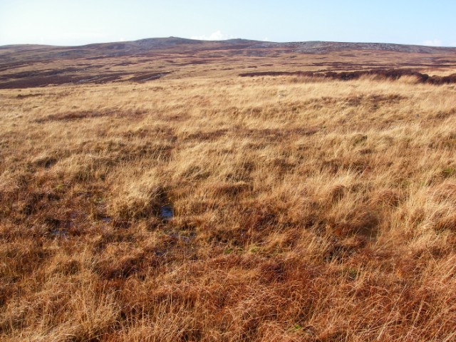
Tair Carn Uchaf is a hill in the Brecon Beacons National Park in the county of Carmarthenshire, Wales. Its summit sits atop a plateau-like ridge at 482 metres above sea level and is marked by one of the three huge cairns which give the mountain its name. ()
Brecon Beacons United Kingdom
Tair Carn Uchaf – popular in the area (distance from the attraction)
Nearby attractions include: Carreg Cennen Castle, Bridge Street, St Teilo's Church, Y Garn Goch.
 Forts and castles, Historical place, View point
Carreg Cennen Castle, Brecon Beacons
44 min walk • Carreg Cennen Castle is a castle sited on a high rocky outcrop overlooking the River Cennen, close to the village of Trap, four miles south of Llandeilo in Carmarthenshire, Wales.
 Bridge
Bridge Street, Llandeilo
121 min walk • Llandeilo Bridge is a Grade II* listed road bridge crossing the River Towy in Llandeilo, Carmarthenshire, Wales. It carries the main A483 road towards Ffairfach.
 Church
St Teilo's Church, Llandeilo
122 min walk • The St Teilo's Church, is an Anglican parish church in the town of Llandeilo, Carmarthenshire, Wales. The fabric of the building has medieval origins but stands on a much older site and was rebuilt in the early eighteenth century.
 Archaeological site
Y Garn Goch, Brecon Beacons
120 min walk • Y Garn Goch is a hill in the Brecon Beacons National Park in the east of Carmarthenshire, Wales. The name means the 'red cairn'. It lies near the village of Bethlehem, three miles southwest of Llangadog and four miles east of Llandeilo on the southern side of the broad Towy Valley.
 Church, Gothic Revival architecture
All Saints Church, Ammanford
108 min walk • All Saints Church, Ammanford is an Anglican parish church in the town of Ammanford, Carmarthenshire, Wales. It was erected between 1911 and 1915 by W. D. Jenkins of Llandeilo. The tower was added between 1924 and 1926 as a war memorial, this time the architect being Charles Mercer of Swansea.
 Nature, Natural attraction, Mountain
Garreg Lwyd, Brecon Beacons
91 min walk • Garreg Lwyd, also known as Moel Gornach, is a peak in the Black Mountain of the Brecon Beacons, South Wales. It is a subsidiary summit of Fan Brycheiniog. It is the westernmost area over 2,000 feet above sea level in South Wales.
 Nature, Natural attraction, Mountain
Foel Fraith, Brecon Beacons
118 min walk • Foel Fraith is a hill in the Black Mountain in the county of Carmarthenshire, southwest Wales. It lies within the Brecon Beacons National Park and Fforest Fawr Geopark. Its plateau-like summit attains a height of 602 metres above sea level.
 Church
St Tyfi's Church, Llandeilo
129 min walk • St Tyfi's Church is the former parish church of Llandyfeisant, near Llandeilo and part of the Dinefwr Park estate in Carmarthenshire, Wales. It was dedicated to the Welsh saint Tyfei, nephew of Saint Teilo.
 Forts and castles
Penlle'r Castell, Swansea
117 min walk • Penlle'r Castell is an historic ruin on the summit of Mynydd y Betws in the far north of the City and County of Swansea. The Penlle'r Castell site was probably a late 13th-century stronghold garrisoned by one of the Marcher Lords.
 Protected area
Tregyb Woodlands, Llandeilo
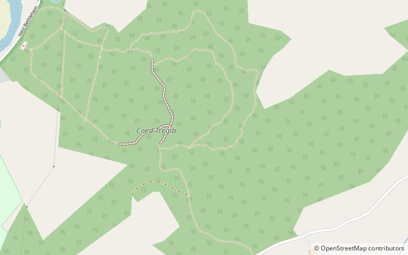
103 min walk • Tregyb Woodlands is a Site of Special Scientific Interest in Carmarthen & Dinefwr, Wales. Designated as a SSSI since 1980 as a conservation effort to protect and conserve the site, its area is 27 hectares.
 Nature, Natural attraction, Mountain
Mynydd y Betws
121 min walk • Mynydd y Betws is a mountain or large hill located on the border between Swansea and Carmarthenshire in South Wales, between Ammanford and Clydach. It is an area of upland with large stretches of tussocky grassland.
