Platt's Eyot, London
Map

Map

Facts and practical information
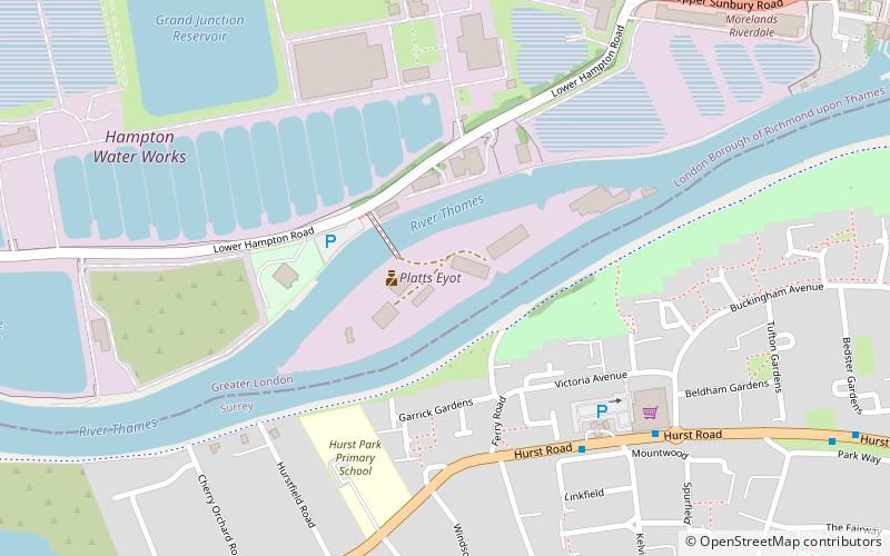
Platt's Eyot or Platt's Ait is an island on the River Thames at Hampton, in the London Borough of Richmond upon Thames, England, on the reach between Molesey Lock and Sunbury Lock. ()
Coordinates: 51°24'35"N, 0°22'19"W
Address
Richmond upon Thames (Hampton)London
ContactAdd
Social media
Add
Day trips
Platt's Eyot – popular in the area (distance from the attraction)
Nearby attractions include: Hampton Pool, Garrick's Temple to Shakespeare, Garrick's Villa, Hampton Methodist Church.
Frequently Asked Questions (FAQ)
Which popular attractions are close to Platt's Eyot?
Nearby attractions include Hampton Baptist Church, London (9 min walk), St Theodore's Roman Catholic Church, London (12 min walk), Hampton Methodist Church, Molesey (14 min walk), Garrick's Temple to Shakespeare, London (15 min walk).
How to get to Platt's Eyot by public transport?
The nearest stations to Platt's Eyot:
Bus
Train
Bus
- The Paddock • Lines: 461, 661 (6 min walk)
- Percy Road • Lines: 216 (8 min walk)
Train
- Hampton (11 min walk)

 Tube
Tube


