Knight Reservoir, Walton-on-Thames
Map

Map

Facts and practical information
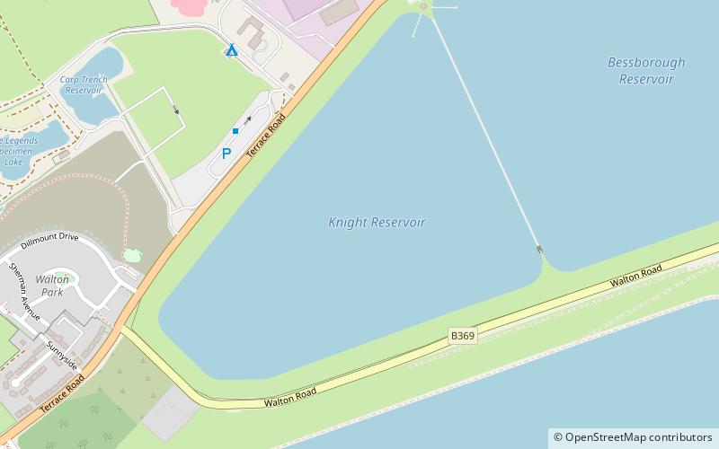
The Knight Reservoir is a large pumped storage reservoir located in the Borough of Elmbridge in Surrey. It was inaugurated in 1907 and stores up to 2,180 million litres of raw water abstracted from the River Thames prior to its treatment and supply to London and north Surrey. It is located south of the River Thames, west of West Molesey, and between Hurst Road and Walton Road. It is adjacent to, and west of, its twin Bessborough Reservoir. ()
Elevation: 36 ft a.s.l.Coordinates: 51°23'57"N, 0°23'45"W
Address
Walton-on-Thames
ContactAdd
Social media
Add
Day trips
Knight Reservoir – popular in the area (distance from the attraction)
Nearby attractions include: Walton-on-Thames Cemetery, Queen Elizabeth II Reservoir, St Theodore's Roman Catholic Church, Molesey Heath.
Frequently Asked Questions (FAQ)
Which popular attractions are close to Knight Reservoir?
Nearby attractions include Queen Elizabeth II Reservoir, Walton-on-Thames (14 min walk), Rivermead Island, Sunbury-on-Thames (16 min walk), Sunbury Lock, Sunbury-on-Thames (16 min walk), Sunbury Court Island, Sunbury-on-Thames (18 min walk).


