HIBT, Hatfield
Map
Facts and practical information
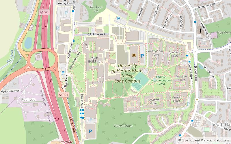
The University of Hertfordshire is a public university in Hertfordshire, United Kingdom. The university is based largely in Hatfield, Hertfordshire. Its antecedent institution, Hatfield Technical College, was founded in 1948 and was identified as one of 25 Colleges of Technology in the United Kingdom in 1959. In 1992, Hatfield Polytechnic was granted university status by the British government and subsequently renamed University of Hertfordshire. It is one of the post-1992 universities. ()
Getting there by public transportation
Public transportation stops near this location
- Bus
- Train
 Bus
Bus
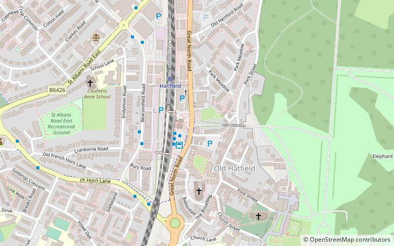
- Calculate routeThe Forum 5 min walk
- Calculate routeHatfield 35 min walk
Day trips


Frequently Asked Questions (FAQ)
Which popular attractions are close to HIBT?
Nearby attractions include University of Hertfordshire, Hatfield (1 min walk), Torilla, Hatfield (17 min walk), Oxleys Wood, Hatfield (19 min walk), Howe Dell, Hatfield (22 min walk).
How to get to HIBT by public transport?
The nearest stations to HIBT:
Bus
Train
Bus
- The Forum • Lines: 610, 611, 612, 614, 644 (5 min walk)
Train
- Hatfield (35 min walk)