Altnahinch Dam
Map

Map

Facts and practical information
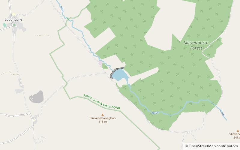
Altnahinch Dam is a large dam located near Loughguile, County Antrim, Northern Ireland. It is situated on the edge of Slieveanorra Forest in the southern uplands of Glenbush and was constructed in 1967 using stone quarried from newly founded Corkey Quarry almost 3 miles away. The reservoir is fed from a number of tributaries in the greater Glenbush area, Altnahinch Burn and more famously the River Bush itself which flows from the top of Glenbush to through the reservoir and eventually into the sea at Bushmills. ()
Elevation: 797 ft a.s.l.Coordinates: 55°2'41"N, 6°14'41"W
Day trips
Altnahinch Dam – popular in the area (distance from the attraction)
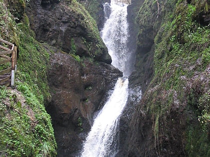
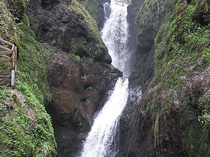
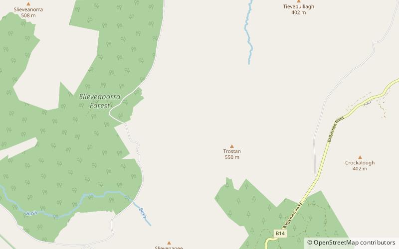
Nearby attractions include: Ess na Larach, Glenariff Forest Park, Tievebulliagh, Trostan.


