Tievebulliagh
Map
Gallery
Facts and practical information
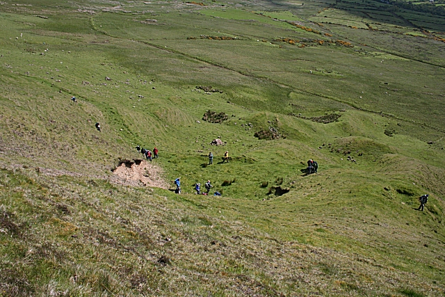
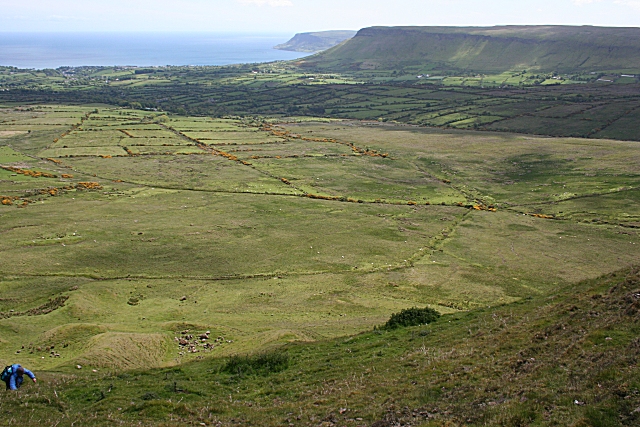
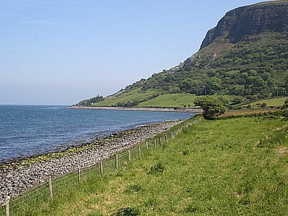
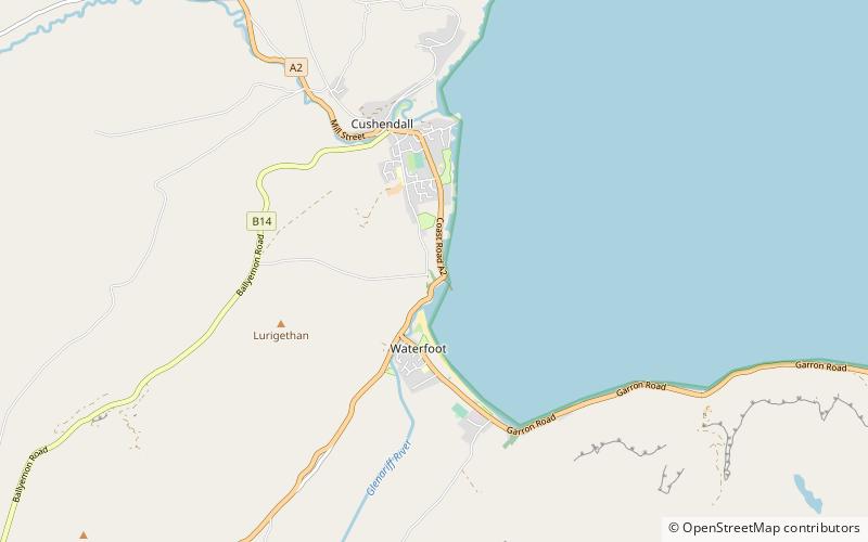
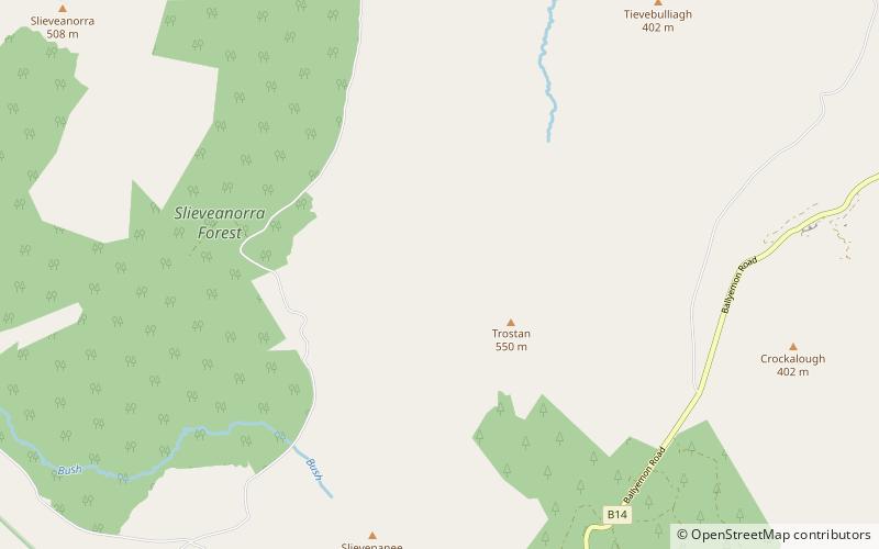
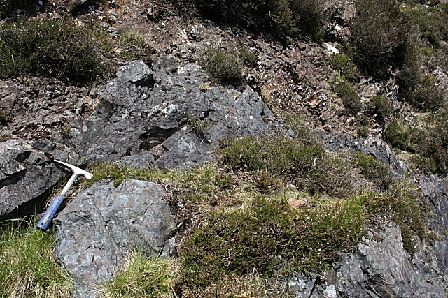
Tievebulliagh is a 402-metre-high mountain in the Glens of Antrim, Northern Ireland. It forms part of the watershed between Glenaan to the north and Glenballyemon to the south. It is situated about 4.4 km from Cushendall. ()
Elevation: 1319 ftProminence: 171 ftCoordinates: 55°4'27"N, 6°7'59"W
Location
Northern Ireland
ContactAdd
Social media
Add
Day trips
Tievebulliagh – popular in the area (distance from the attraction)
Nearby attractions include: Ess na Larach, Ardclinis, Glenariff Forest Park, Altnahinch Dam.


