Baker Perkins Sports Ground, Peterborough
Map
Facts and practical information
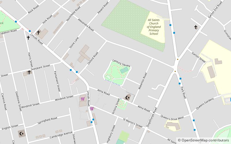
Baker Perkins Sports Ground is a cricket ground in Peterborough, Northamptonshire. The ground was originally owned by Baker Perkins. The first recorded match on the ground was in 1963, when the Northamptonshire Second XI played the Worcestershire Second XI in the Second XI Championship. The ground of 8 Northamptonshire Second XI fixtures in both the Second XI Championship and Second XI Trophy. ()
Coordinates: 52°35'18"N, 0°14'40"W
Address
Peterborough
ContactAdd
Social media
Add
Getting there by public transportation
Public transportation stops near this location
- Bus
- Train
 Bus
Bus
- Calculate routeCambridge Avenue 5 min walk
- Calculate routePark Road Corner 6 min walk
- Calculate routeExeter Road 6 min walk
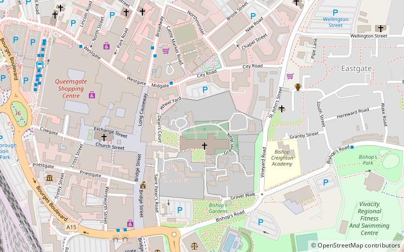
- Calculate routePeterborough 25 min walk
Day trips


Frequently Asked Questions (FAQ)
Which popular attractions are close to Baker Perkins Sports Ground?
Nearby attractions include Millfield, Peterborough (6 min walk), St Peter and All Souls, Peterborough (21 min walk), West Town, Peterborough (22 min walk), Boroughby, Peterborough (23 min walk).
How to get to Baker Perkins Sports Ground by public transport?
The nearest stations to Baker Perkins Sports Ground:
Bus
Train
Bus
- Cambridge Avenue • Lines: 1 (5 min walk)
- Park Road Corner • Lines: citi 2 (6 min walk)
Train
- Peterborough (25 min walk)