Baker Way
Map

Gallery

Facts and practical information
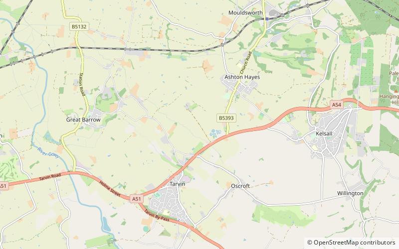
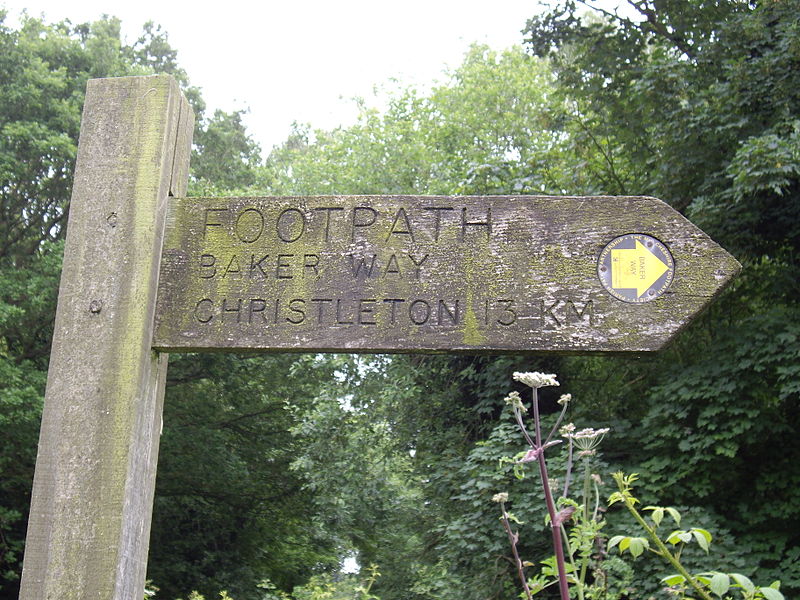
The Baker Way is a footpath running from Chester railway station to Delamere railway station within the English county of Cheshire. The total length of the trail is 13 miles. Its name commemorates the life and work of Jack Baker, a former footpaths officer for Cheshire County Council. ()
Length: 13 miSeason: All yearCoordinates: 53°12'36"N, 2°45'19"W
Location
England
ContactAdd
Social media
Add
Day trips
Baker Way – popular in the area (distance from the attraction)
Nearby attractions include: Delamere Forest, Hatchmere, Eddisbury hill fort, Harmers Wood.


