Hockenhull Platts
Map

Gallery

Facts and practical information
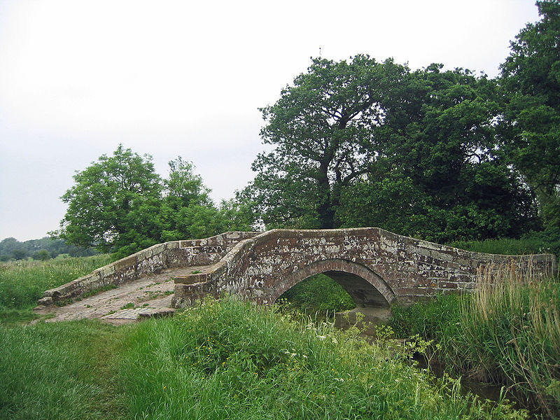
Hockenhull Platts consists of three bridges southwest of the village of Tarvin, Cheshire, England. They are also known as the "Packhorse Bridges" or the "Roman Bridges", and are recorded in the National Heritage List for England as designated Grade II listed buildings. The bridges are situated where Platts Lane crosses the River Gowy. An area of 5 hectares west of the Gowy, including the westernmost bridge, forms Hockenhull Platts Nature Reserve, managed by the Cheshire Wildlife Trust. ()
Coordinates: 53°11'7"N, 2°47'9"W
Location
England
ContactAdd
Social media
Add
Day trips
Hockenhull Platts – popular in the area (distance from the attraction)
Nearby attractions include: Baker Way, St James' Church, St Paul's Church, St Andrew's Church.


