Beacon Way, Birmingham

Gallery (1)
Map
Map
Facts and practical information
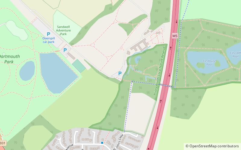
The Beacon Way is a long-distance walk of around 40 kilometres through the West Midlands county and Staffordshire, in the Midlands of England. It takes its name from Barr Beacon, a hill to the east of Walsall, and one of the highest points in the West Midlands. The Beacon Way starts at Sandwell Park Farm in Sandwell Valley Country Park and extends as far as Gentleshaw Common where it connects with the Heart of England Way. ()
Length: 24.85 miMaximum elevation: 745 ftCoordinates: 52°31'12"N, 1°58'27"W
Address
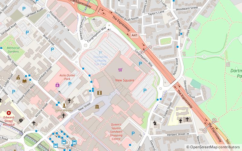
Sandwell (West Bromwich Central)Birmingham
ContactAdd
Social media
Add
Getting there by public transportation
Public transportation stops near this location
- Bus
- Tram
- Train
 Bus
Bus
- Calculate routeTrinity Way 21 min walk
- Calculate routeKenrick Park 22 min walk
- Calculate routeWest Bromwich Central 23 min walk
- Calculate routeThe Hawthorns 27 min walk
- Calculate routeF 22 min walk
- Calculate routeS 23 min walk
- Calculate routeWest Bromwich Bus Station 23 min walk
- Calculate routeHigh St / Victoria St 23 min walk
- Calculate routeThe Hawthorns 28 min walk
Day trips


Frequently Asked Questions (FAQ)
Which popular attractions are close to Beacon Way?
Nearby attractions include Mortuary Chapel, Birmingham (20 min walk), The Public, West Bromwich (21 min walk), The Hawthorns, Birmingham (23 min walk), Sandwell Valley Country Park, West Bromwich (24 min walk).
How to get to Beacon Way by public transport?
The nearest stations to Beacon Way:
Tram
Bus
Train
Tram
- Trinity Way • Lines: 1 (21 min walk)
- Kenrick Park • Lines: 1 (22 min walk)
Bus
- F • Lines: 43, 43A (22 min walk)
- S • Lines: 79 (23 min walk)
Train
- The Hawthorns (28 min walk)