Summit Bridge
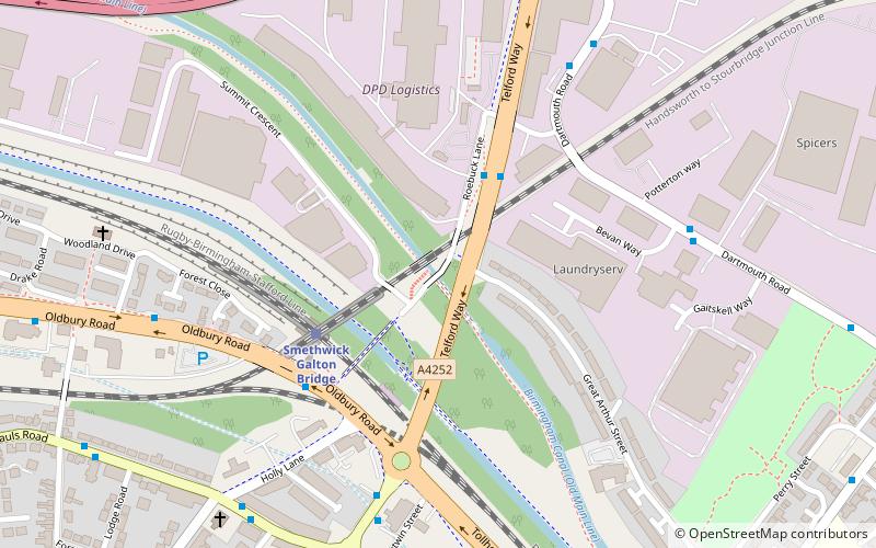
Map
Map

Facts and practical information
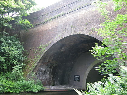
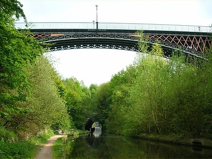
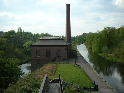
Summit Bridge is a road bridge over a canal, built in 1789. It crosses the Old Main Line of the Birmingham Canal Navigations in Smethwick, in the West Midlands, England; it was part of John Smeaton's improvements to the canal system at its highest point in the area. ()
Coordinates: 52°30'10"N, 1°58'41"W
Location
England
ContactAdd
Social media
Add
Day trips
Summit Bridge – popular in the area (distance from the attraction)
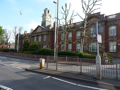
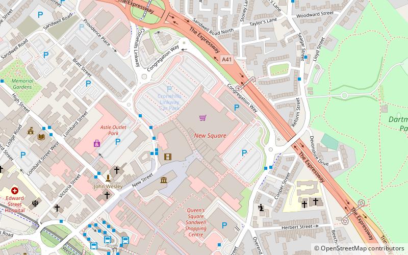
Nearby attractions include: The Hawthorns, The Public, Smethwick Council House, New Square.
