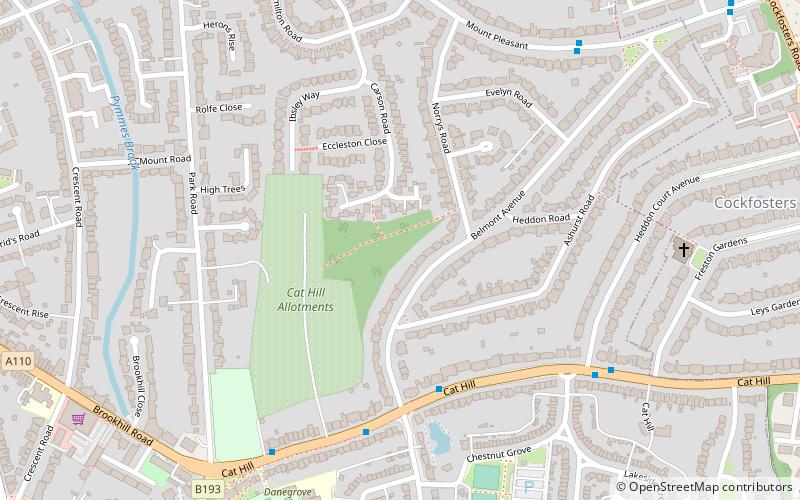
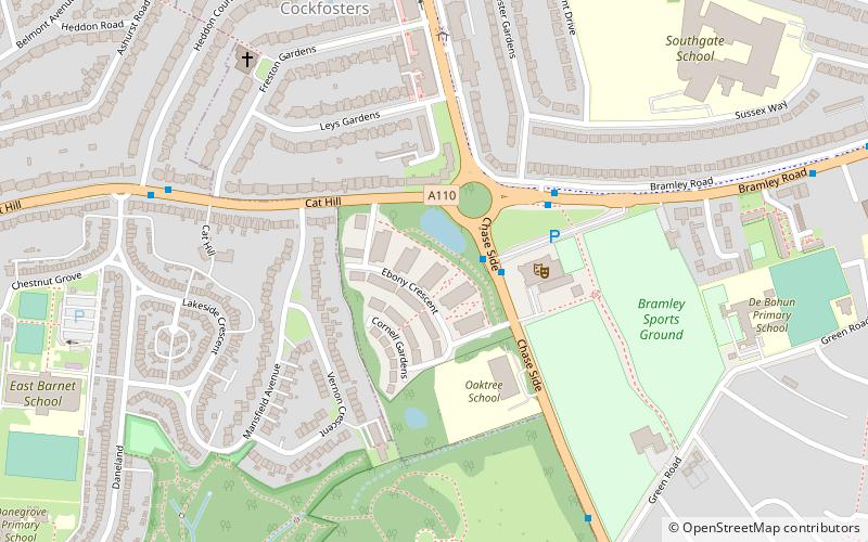
Belmont Open Space, London
Map

Map

Facts and practical information
Belmont Open Space is a one hectare public park and Site of Local Importance for Nature Conservation in Cockfosters in the London Borough of Barnet. ()
Coordinates: 51°38'49"N, 0°9'25"W
Address
Barnet (East Barnet)London
ContactAdd
Social media
Add
Day trips
Belmont Open Space – popular in the area (distance from the attraction)
Nearby attractions include: Hadley Wood Golf Course, St Mary the Virgin, Christ Church Cockfosters, Covert Way.
Frequently Asked Questions (FAQ)
Which popular attractions are close to Belmont Open Space?
Nearby attractions include Christ Church Cockfosters, Potters Bar (10 min walk), East Barnet, London (12 min walk), Museum of Domestic Design and Architecture, London (12 min walk), Chase Side, Potters Bar (13 min walk).
How to get to Belmont Open Space by public transport?
The nearest stations to Belmont Open Space:
Bus
Metro
Train
Bus
- Belmont Avenue • Lines: 307 (4 min walk)
- Heddon Court Avenue • Lines: 307 (6 min walk)
Metro
- Cockfosters • Lines: Piccadilly (12 min walk)
- Oakwood • Lines: Piccadilly (28 min walk)
Train
- New Barnet (18 min walk)
- Oakleigh Park (20 min walk)

 Tube
Tube


