New Barnet War Memorial, London

Gallery (1)
Map
Map
Facts and practical information
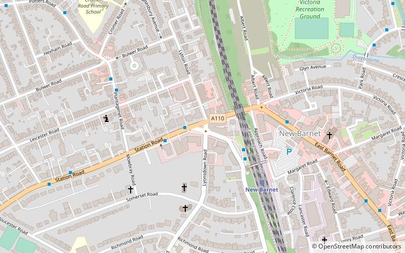
The New Barnet War Memorial stands on a triangular plot at the junction of Station Road and Lyonsdown Road, New Barnet. It is grade II listed with Historic England. ()
Coordinates: 51°38'59"N, 0°10'31"W
Getting there by public transportation
Public transportation stops near this location
- Metro
- Bus
- Train
 Metro
Metro
- Calculate routeNew Barnet Station / Station Road 2 min walk
- Calculate routeNew Barnet Station 3 min walk
- Calculate routeNew Barnet Sainsbury's 5 min walk
- Calculate routeBulwer Road 5 min walk
- Calculate routeNew Barnet 4 min walk
- Calculate routeOakleigh Park 24 min walk
- Calculate routeHigh Barnet 21 min walk
- Calculate routeCockfosters 29 min walk
Maps Tube
Tube
TubeDay trips


Frequently Asked Questions (FAQ)
Which popular attractions are close to New Barnet War Memorial?
Nearby attractions include New Barnet Congregational Church, Potters Bar (4 min walk), Holy Trinity Lyonsdown, Potters Bar (4 min walk), Albert Road gas holder, Potters Bar (8 min walk), New Barnet, Potters Bar (12 min walk).
How to get to New Barnet War Memorial by public transport?
The nearest stations to New Barnet War Memorial:
Bus
Train
Metro
Bus
- New Barnet Station / Station Road • Lines: 107, 184, 307, 326, 383, 384, 626, 84 (2 min walk)
- New Barnet Station • Lines: 107, 383, 84 (3 min walk)
Train
- New Barnet (4 min walk)
- Oakleigh Park (24 min walk)
Metro
- High Barnet • Lines: Northern (21 min walk)
- Cockfosters • Lines: Piccadilly (29 min walk)