Boscawen Park, Truro
Map

Map

Facts and practical information
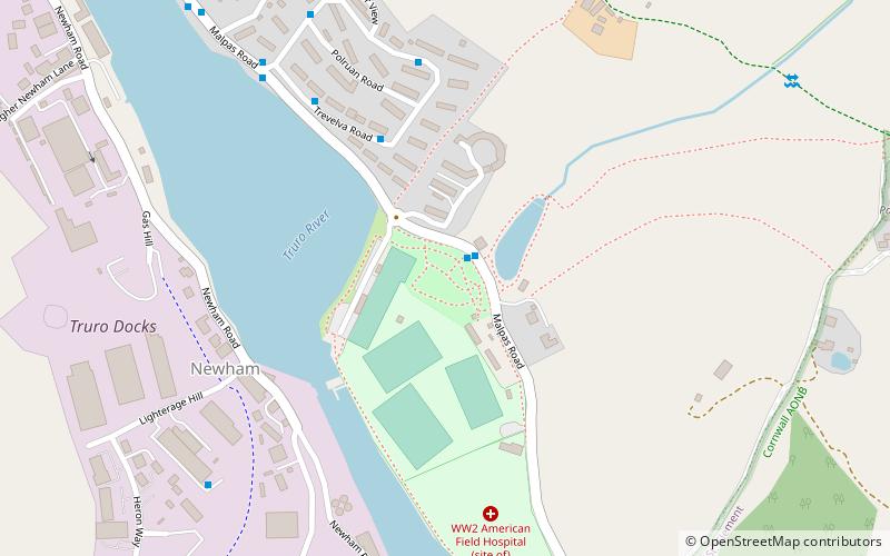
Boscawen Park is a cricket ground located in recreation grounds along Malpas Road in Truro, Cornwall. The ground is situated directly next to the River Truro, which runs alongside its western side. The end names are the City End to the north and the Malpas End to the south. Alternatively, these ends are also known as the Cathedral End and River End. ()
Elevation: 26 ft a.s.l.Coordinates: 50°15'13"N, 5°2'20"W
Day trips
Boscawen Park – popular in the area (distance from the attraction)
Nearby attractions include: Truro Cathedral, Royal Cornwall Museum, Hall for Cornwall, Treyew Road.
Frequently Asked Questions (FAQ)
Which popular attractions are close to Boscawen Park?
Nearby attractions include St John the Evangelist's Church, Truro (21 min walk), Roseland Observatory, Truro (21 min walk), Lemon Street Market, Truro (21 min walk), Hall for Cornwall, Truro (21 min walk).
How to get to Boscawen Park by public transport?
The nearest stations to Boscawen Park:
Bus
Train
Bus
- Stand E • Lines: 22 (19 min walk)
- Stand D • Lines: 93 (19 min walk)
Train
- Truro (34 min walk)


