Bowles Rocks

Gallery (1)
Map
Map
Facts and practical information
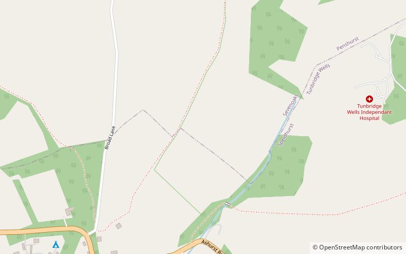
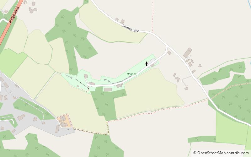
Bowles Rocks is a sandstone crag in the county of East Sussex, on the border with Kent, approximately 8 kilometres south of the town of Tunbridge Wells. It is popular with rock climbers due to the excellent, south-facing, quick-drying rock, the range of climbs and the ease of access. It is one of the cluster of local outcrops known as Southern Sandstone. ()
Coordinates: 51°4'32"N, 0°12'0"E
Location
England
ContactAdd
Social media
Add
Day trips