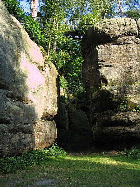
High Rocks, Tunbridge Wells
Map
Gallery
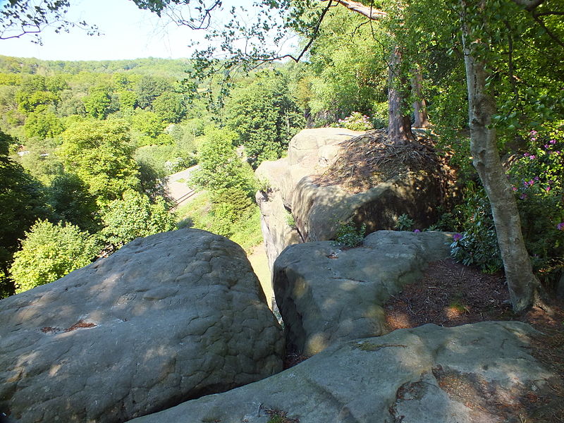
Facts and practical information
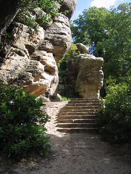
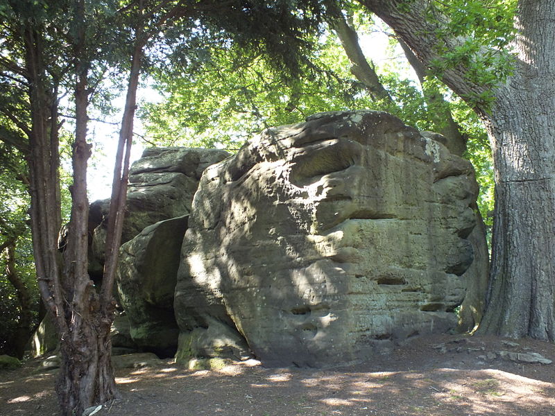
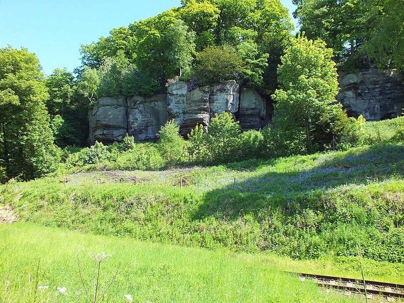
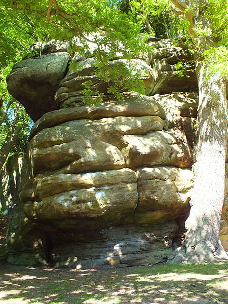
High Rocks is a 3.2-hectare geological Site of Special Scientific Interest west of Tunbridge Wells in East Sussex and Kent. It is a Geological Conservation Review site. ()
Coordinates: 51°7'19"N, 0°13'48"E
Day trips
High Rocks – popular in the area (distance from the attraction)
Nearby attractions include: St Paul's Church, The Forum, Friezland Wood, St Mark's Church.
Frequently Asked Questions (FAQ)
When is High Rocks open?
High Rocks is open:
- Monday 10 am - 12 am
- Tuesday 10 am - 12 am
- Wednesday 10 am - 12 am
- Thursday 10 am - 12 am
- Friday 10 am - 12 am
- Saturday 10 am - 12 am
- Sunday 10 am - 12 am
Which popular attractions are close to High Rocks?
Nearby attractions include Friezland Wood, Tunbridge Wells (5 min walk), St Paul's Church, Tunbridge Wells (18 min walk).
How to get to High Rocks by public transport?
The nearest stations to High Rocks:
Train
Bus
Train
- High Rocks (7 min walk)
- Tunbridge Wells West (26 min walk)
Bus
- Broadwater Down West • Lines: 28, 29, 29X (17 min walk)
- Dornden Drive • Lines: 231, 291 (18 min walk)


