Caer Lêb, Anglesey
Map

Gallery
Facts and practical information
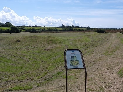
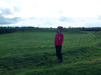
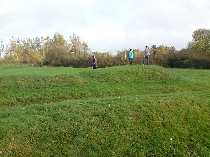
Caer Lêb is a Roman and mediaeval site on the Welsh island of Anglesey, west of Brynsiencyn. Its name means "Leaven Castle". It is a low-lying site near the Afon Braint with a double row of pentangular banks and marshy ditches. The original entrance was on the east, other gaps are modern and caused by animals. Based on the excavation of a similar site elsewhere on Anglesey, it may date from the 2nd century BCE. ()
Coordinates: 53°10'54"N, 4°17'12"W
Address
Anglesey
ContactAdd
Social media
Add
Day trips
Caer Lêb – popular in the area (distance from the attraction)
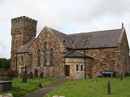
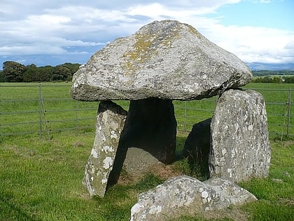
Nearby attractions include: St Nidan's Church, Castell Bryn Gwyn, Bodowyr, Bryn Gwyn stones.
Frequently Asked Questions (FAQ)
Which popular attractions are close to Caer Lêb?
Nearby attractions include Parciau hill fort, Anglesey (1 min walk), Castell Bryn Gwyn, Anglesey (14 min walk), Bryn Gwyn stones, Anglesey (19 min walk), Bodowyr, Anglesey (21 min walk).
