Castell Bryn Gwyn, Anglesey
Map
Map

Facts and practical information
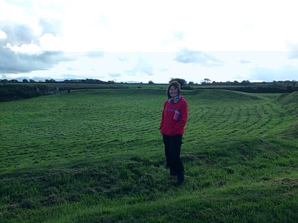
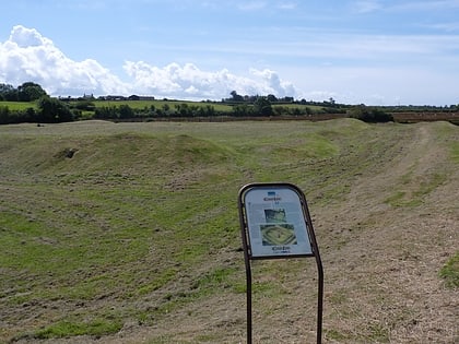
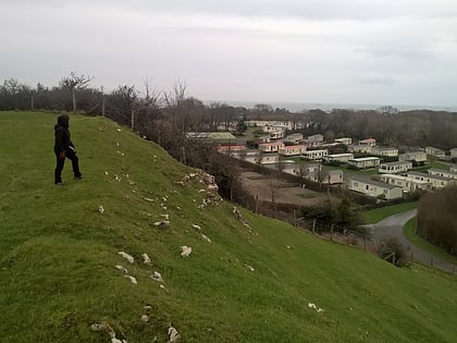
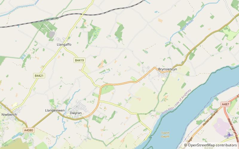
Castell Bryn Gwyn is a prehistoric site on the Isle of Anglesey, west of Brynsiencyn. It is a circular clay and gravel bank covered with grass, still some 1.5m high and revetted externally by stone walls, which surround a level area some 54 metres in diameter. Its name means "White Hill Castle". ()
Coordinates: 53°10'43"N, 4°17'53"W
Day trips
Castell Bryn Gwyn – popular in the area (distance from the attraction)
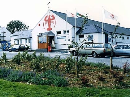
Nearby attractions include: Anglesey Sea Zoo, Caer Lêb, Bodowyr, St Mary's Church.
Frequently Asked Questions (FAQ)
Which popular attractions are close to Castell Bryn Gwyn?
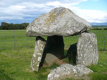
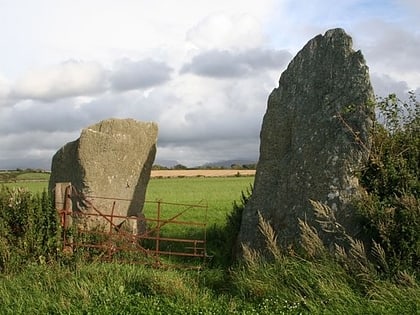
Nearby attractions include Bryn Gwyn stones, Anglesey (6 min walk), Parciau hill fort, Anglesey (14 min walk), Caer Lêb, Anglesey (14 min walk), Bodowyr, Anglesey (19 min walk).
