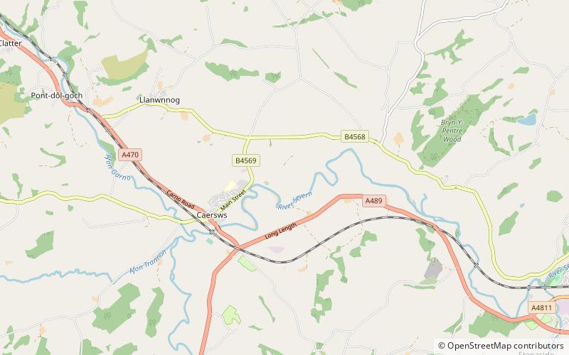
Caersws Roman Forts
Map

Map

Facts and practical information
The Caersws Roman Forts are two Roman military camps at Caersws, Powys in Mid Wales. They were garrisoned during the occupation of Great Britain between the 1st and 5th centuries when this part of Wales was part of the Roman province of Britannia Superior. A surviving section of Roman road lies to the west of the encampments. ()
Coordinates: 52°31'20"N, 3°24'41"W
Location
Wales
ContactAdd
Social media
Add
Day trips
Caersws Roman Forts – popular in the area (distance from the attraction)
Nearby attractions include: St Llwchaiarn's Church, St Beuno's Church, Llandinam Bridge, Latham Park.


