Castell Gwallter

Gallery (1)
Map
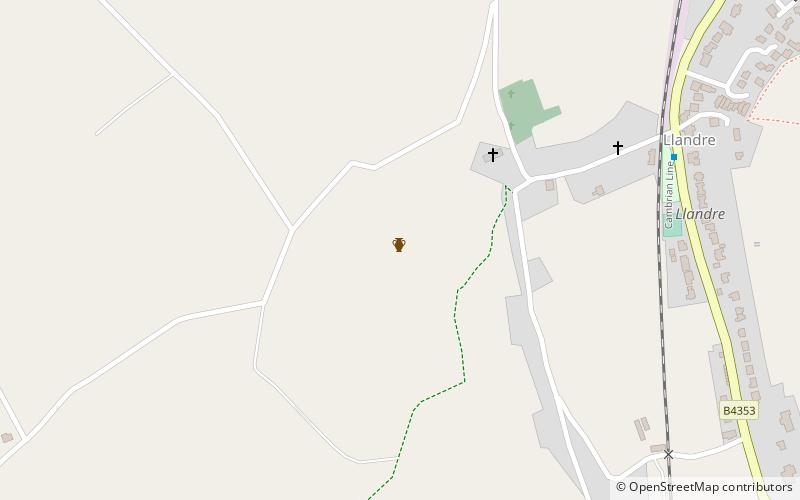
Map
Facts and practical information
Castell Gwallter, also known as Walter's Castle and sometimes Castell Penweddig, is the remains of a Norman motte-and-bailey castle situated on a large hill above the old village of Llandre in northern Ceredigion, Wales, four miles northeast of Aberystwyth. ()
Coordinates: 52°27'41"N, 4°1'48"W
Location
Wales
ContactAdd
Social media
Add
Day trips