Cwmsymlog
Map

Map

Facts and practical information
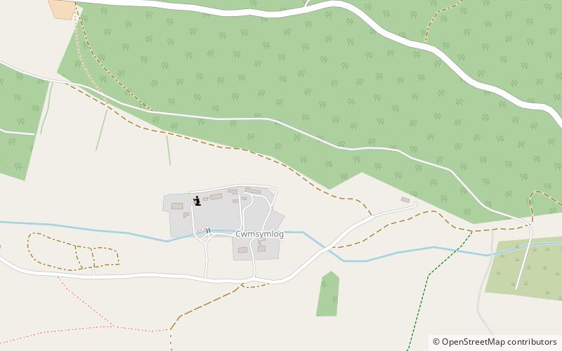
Cwmsymlog is a short valley, sheltering a hamlet of the same name, in Ceredigion, in the west of Wales. Once an important mining area, but the mining slowly declined and finally came to an end in 1901. Now it is peaceful, open countryside with a few mining remains, scattered houses and farmland. It is also the name of a Site of Special Scientific Interest at that location. ()
Area: 10.3 acres (0.0161 mi²)Coordinates: 52°26'15"N, 3°54'54"W
Location
Wales
ContactAdd
Social media
Add
Day trips
Cwmsymlog – popular in the area (distance from the attraction)
Nearby attractions include: Borth Animalarium, Plynlimon, Ystwyth Trail, The Silver Mountain Experience.


