City Church, Oxford
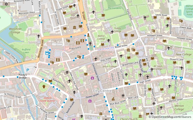
Map

Map

Facts and practical information
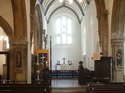
The City Church in Oxford, England, is where the mayor and corporation are expected to worship. There have been three churches designated the City Church in Oxford, first established around 1122: ()
Coordinates: 51°45'13"N, 1°15'30"W
Address
CarfaxOxford
ContactAdd
Social media
Add
Day trips
City Church – popular in the area (distance from the attraction)
Nearby attractions include: Cornmarket Street, Broad Street, Queen Street, Magdalen Street.
Frequently Asked Questions (FAQ)
Which popular attractions are close to City Church?
Nearby attractions include St Michael at the North Gate, Oxford (1 min walk), Broad Street, Oxford (1 min walk), Ship Street, Oxford (2 min walk), Jesus College, Oxford (2 min walk).
How to get to City Church by public transport?
The nearest stations to City Church:
Bus
Train
Bus
- Magdalen Street • Lines: 14, 14A, 35 (2 min walk)
- George Street • Lines: 14, 14A, S1 (3 min walk)
Train
- Oxford (13 min walk)


