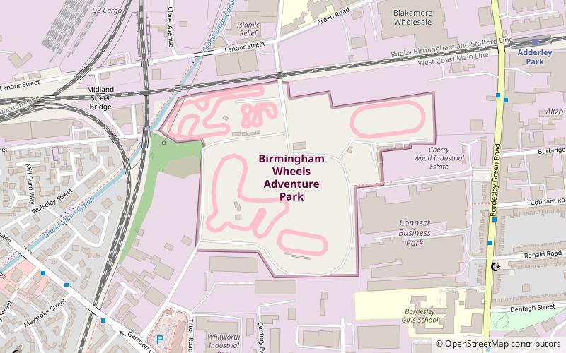
City of Birmingham Stadium, Birmingham

Map
Facts and practical information
The City of Birmingham Stadium was a proposed multi-purpose stadium in the Saltley area of Birmingham, England, originally for Warwickshire County Cricket Club and Birmingham City F.C. to replace the current Edgbaston Cricket Ground and St Andrew's Stadium respectively. ()
Capacity: 55 thous.Coordinates: 52°28'50"N, 1°51'46"W
Address
NechellsBirmingham
ContactAdd
Social media
Add
Day trips
City of Birmingham Stadium – popular in the area (distance from the attraction)
Nearby attractions include: St Andrew's Stadium, Thinktank, Birmingham Wheels Park, Eastside City Park.
Frequently Asked Questions (FAQ)
Which popular attractions are close to City of Birmingham Stadium?
Nearby attractions include Birmingham Wheels Park, Birmingham (1 min walk), Darul Barakaat Mosque, Birmingham (7 min walk), Adderley Park, Birmingham (9 min walk), St Saviour's Church, Birmingham (13 min walk).
How to get to City of Birmingham Stadium by public transport?
The nearest stations to City of Birmingham Stadium:
Train
Bus
Train
- Adderley Park (10 min walk)
- Duddeston (17 min walk)
Bus
- Bordesley Green / Victoria St • Lines: 97 (10 min walk)
- Coventry Rd / Bordesley Rail Station • Lines: X1, X2 (22 min walk)


