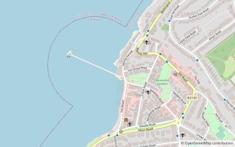
Clevedon Shore, Clevedon
Map

Map

Facts and practical information
Clevedon Shore is a 0.38 hectare geological Site of Special Scientific Interest adjacent to the Severn Estuary at Clevedon, North Somerset, notified in 1991. ()
Coordinates: 51°26'34"N, 2°51'43"W
Address
Clevedon
ContactAdd
Social media
Add
Day trips
Clevedon Shore – popular in the area (distance from the attraction)
Nearby attractions include: Curzon Community Cinema, Walton Castle, 19 alexandra road, Clock Tower.
Frequently Asked Questions (FAQ)
Which popular attractions are close to Clevedon Shore?
Nearby attractions include Clevedon Pier, Clevedon (2 min walk), 19 alexandra road, Clevedon (4 min walk), Christ Church, Clevedon (13 min walk), Clevedon Marine Lake, Clevedon (15 min walk).
How to get to Clevedon Shore by public transport?
The nearest stations to Clevedon Shore:
Bus
Bus
- Old Street • Lines: 54 (17 min walk)
- Clevedon Garage • Lines: 54 (24 min walk)


