Cumbria Coastal Way, Arnside and Silverdale
Map

Gallery

Facts and practical information
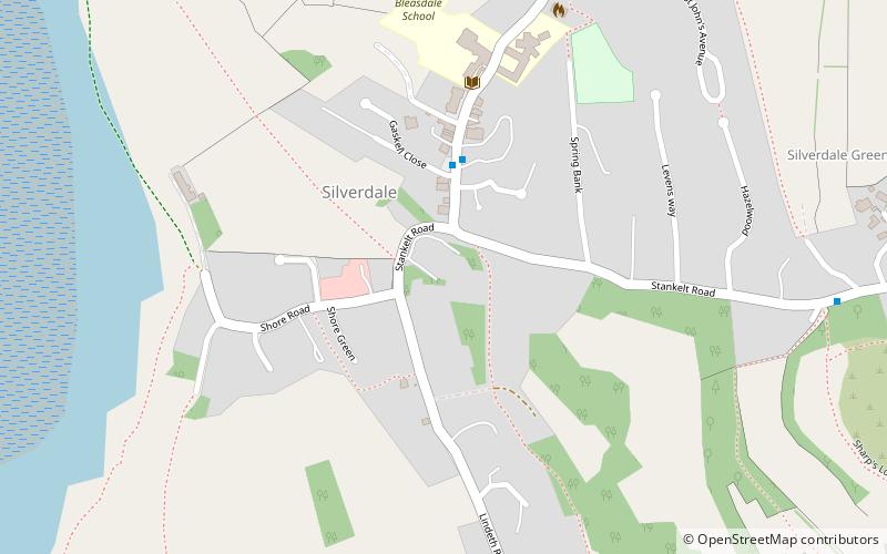
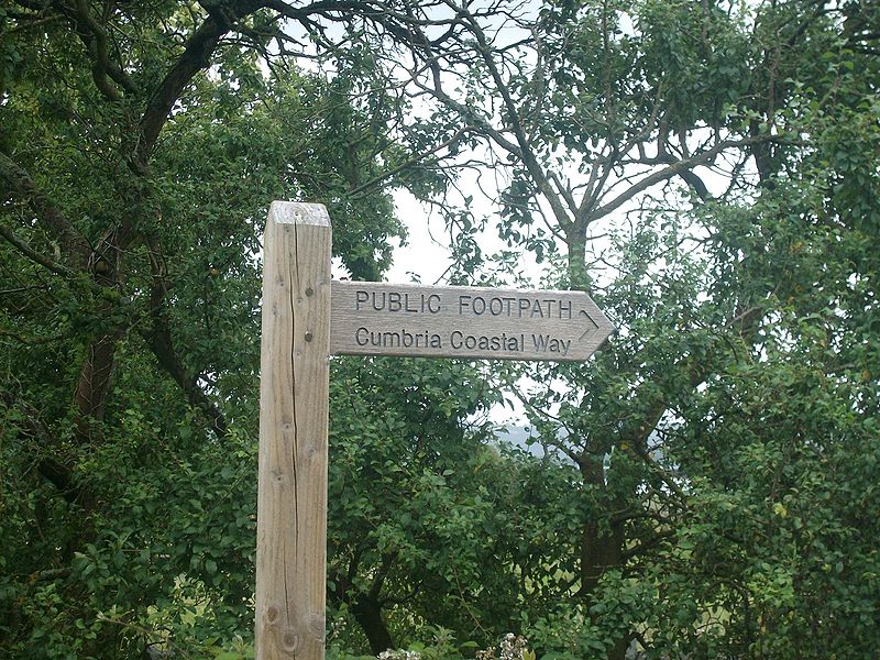
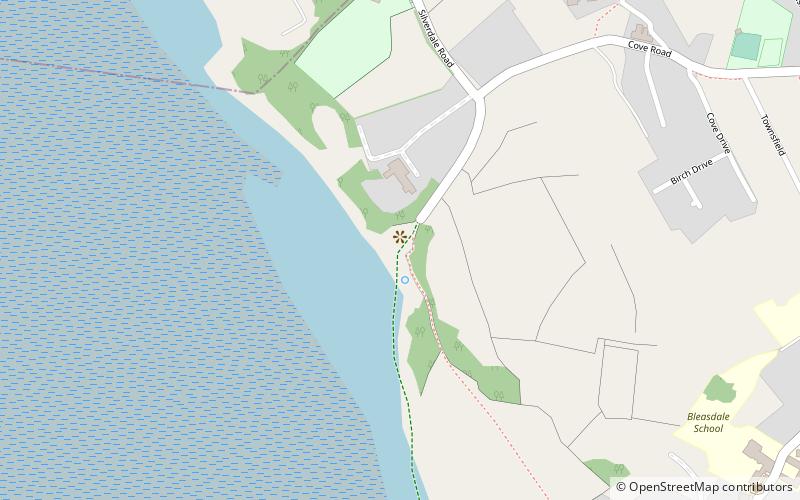
The Cumbria Coastal Way is a long-distance footpath in Cumbria in northern England, following the coast from Silverdale, just over the Lancashire border, to just north of the Anglo-Scottish border. It is now part of the England Coast Path. ()
Length: 185.17 miSeason: All yearCoordinates: 54°10'1"N, 2°49'37"W
Address
Arnside and Silverdale
ContactAdd
Social media
Add
Day trips
Cumbria Coastal Way – popular in the area (distance from the attraction)
Nearby attractions include: Arnside Tower, Leighton Moss RSPB reserve, Silverdale Hoard, St John's Church.
Frequently Asked Questions (FAQ)
Which popular attractions are close to Cumbria Coastal Way?
Nearby attractions include Silverdale Hoard, Arnside and Silverdale (7 min walk), St John's Church, Arnside and Silverdale (9 min walk), Lindeth Tower, Arnside and Silverdale (12 min walk).
How to get to Cumbria Coastal Way by public transport?
The nearest stations to Cumbria Coastal Way:
Bus
Train
Bus
- Silverdale • Lines: 51, 550 (8 min walk)
Train
- Silverdale (25 min walk)


