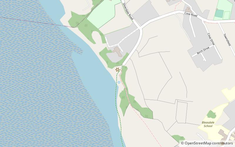
Lancashire Coastal Way, Arnside and Silverdale

Map
Facts and practical information
The Lancashire Coastal Way is a long-distance footpath following the coast of the county of Lancashire in the north west of England. Its end points are Silverdale in the north and Freckleton in the south. Its length is variously asserted to be 66 miles or 137 miles. ()
Length: 66 miMaximum elevation: 226 ftCoordinates: 54°10'20"N, 2°50'3"W
Address
Arnside and Silverdale
ContactAdd
Social media
Add
Day trips
Lancashire Coastal Way – popular in the area (distance from the attraction)
Nearby attractions include: Cumbria Coastal Way, Arnside Tower, Silverdale Hoard, St John's Church.
Frequently Asked Questions (FAQ)
Which popular attractions are close to Lancashire Coastal Way?
Nearby attractions include Silverdale Hoard, Arnside and Silverdale (6 min walk), St John's Church, Arnside and Silverdale (11 min walk), Arnside Tower, Arnside and Silverdale (22 min walk), Lindeth Tower, Arnside and Silverdale (23 min walk).
How to get to Lancashire Coastal Way by public transport?
The nearest stations to Lancashire Coastal Way:
Bus
Bus
- Holgate Caravan Park • Lines: 51 (8 min walk)
- Silverdale • Lines: 51, 550 (12 min walk)


