Devil's Dyke

Gallery (3)
Map

Map
Gallery
Facts and practical information
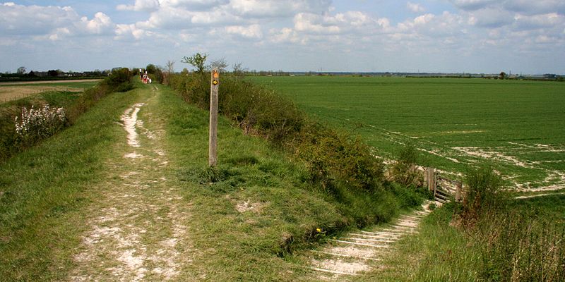
Devil's Dyke or Devil's Ditch is a linear earthen barrier, thought to be of Anglo-Saxon origin, in eastern Cambridgeshire and Suffolk. It is now also a 98-acre biological Site of Special Scientific Interest. It runs in an almost straight line from Woodditton south of Newmarket to Reach north-west of Newmarket. It is also a Special Area of Conservation and a Scheduled Monument. ()
Location
England
ContactAdd
Social media
Add
Day trips