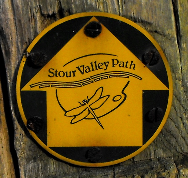
Stour Valley Path, Newmarket

Gallery (2)
Map
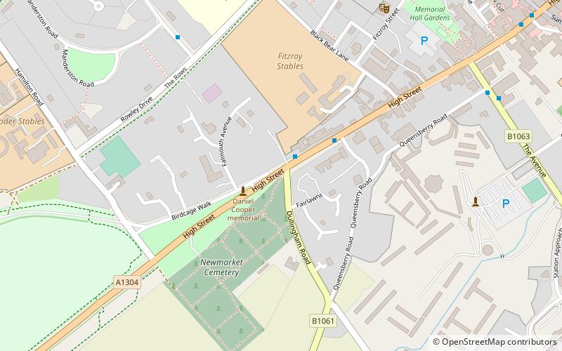
Map
Gallery
Facts and practical information
The Stour Valley Path is a 96-kilometre long-distance footpath in Suffolk, England, from Newmarket (52.2407°N 0.3976°E / 52.2407; 0.3976) to Cattawade (51.9570°N 1.0563°E / 51.9570; 1.0563), a village near Manningtree. ()
Coordinates: 52°14'27"N, 0°23'51"E
Address
Newmarket
ContactAdd
Social media
Add
Day trips


