Digswell Park, Welwyn Garden City
Map
Facts and practical information
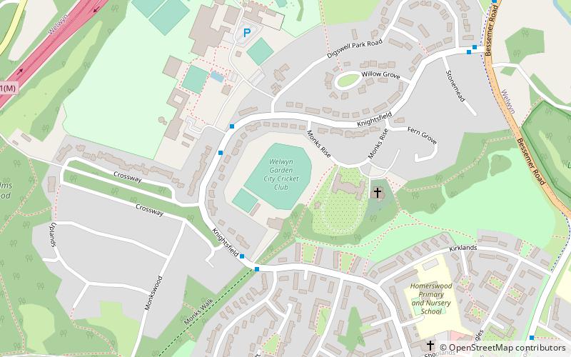
Digswell Park is a cricket ground in Welwyn Garden City, Hertfordshire. The first recorded match on the ground was in 1866 between The Node and Southgate. In 2000, the ground hosted its only Minor Counties Championship match to date, which was between Hertfordshire and Cambridgeshire. In 2003, the ground hosted 2 MCCA Knockout Trophy matches. Hertfordshire resumed their usage of Digswell Park and have to date played 4 further MCCA Knockout Trophy matches on the ground. ()
Coordinates: 51°49'8"N, 0°12'29"W
Address
Welwyn Garden City
ContactAdd
Social media
Add
Getting there by public transportation
Public transportation stops near this location
- Bus
- Train
 Bus
Bus
- Calculate routeDigswell Road 10 min walk
- Calculate routeKnightsfield 13 min walk
- Calculate routeHarwood Hill 15 min walk
- Calculate routeNursery Hill 18 min walk
- Calculate routeWelwyn North 20 min walk
Day trips


Frequently Asked Questions (FAQ)
Which popular attractions are close to Digswell Park?
Nearby attractions include Digswell Viaduct, Welwyn Garden City (15 min walk), Templewood Primary School, Welwyn Garden City (16 min walk), Welwyn Roman Baths, Ayot St Lawrence (18 min walk), Sherrardspark Wood, Welwyn Garden City (18 min walk).
How to get to Digswell Park by public transport?
The nearest stations to Digswell Park:
Bus
Train
Bus
- Digswell Road • Lines: 403 (10 min walk)
- Knightsfield • Lines: 403 (13 min walk)
Train
- Welwyn North (20 min walk)