Forests of Mara and Mondrem

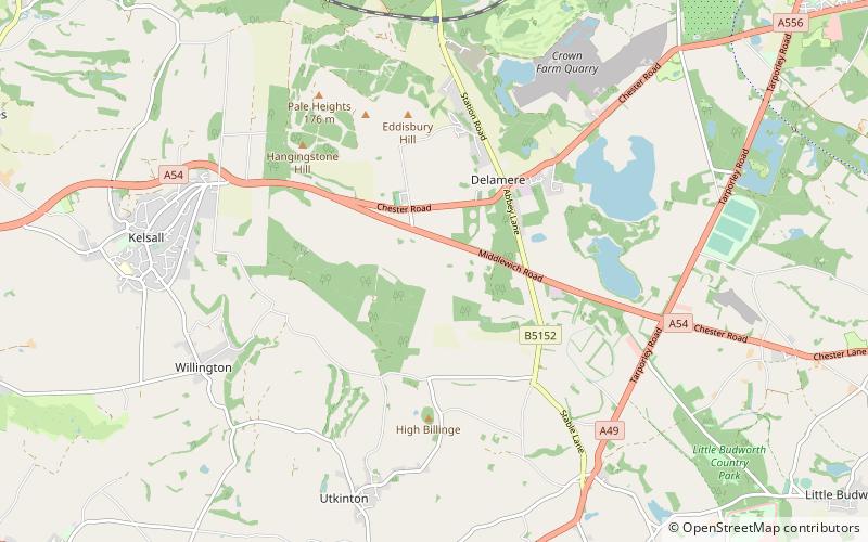
Map
Facts and practical information
The Forests of Mara and Mondrem were adjacent medieval forests in Cheshire, England, which in the 11th century extended to over 60 square miles, stretching from the Mersey in the north almost to Nantwich in the south, and from the Gowy in the west to the Weaver in the east. Mara and Mondrem were a hunting forest of the Norman Earls of Chester, established soon after 1071 by the first earl, Hugh d'Avranches. They might earlier have been an Anglo-Saxon hunting forest. Game included wild boar, and red, fallow and roe deer. ()
Coordinates: 53°12'18"N, 2°40'1"W
Location
England
ContactAdd
Social media
Add
Day trips
Forests of Mara and Mondrem – popular in the area (distance from the attraction)
Nearby attractions include: Oulton Park, Delamere Forest, Hatchmere, Eddisbury hill fort.


