Friary Park, London
Map
Gallery
Facts and practical information
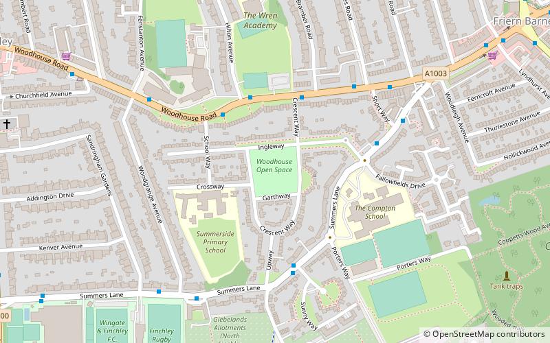
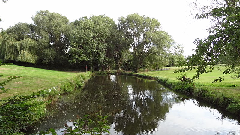
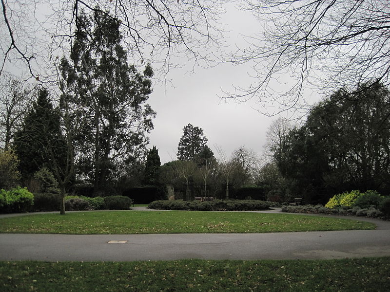
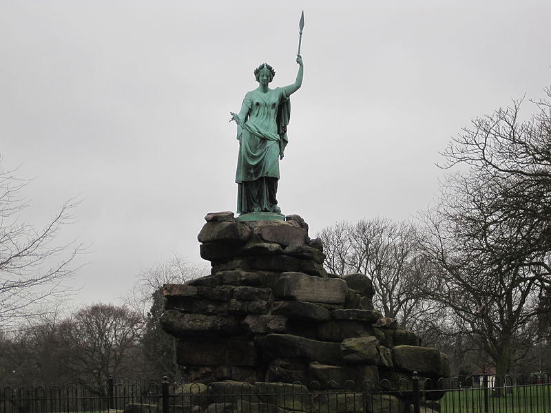
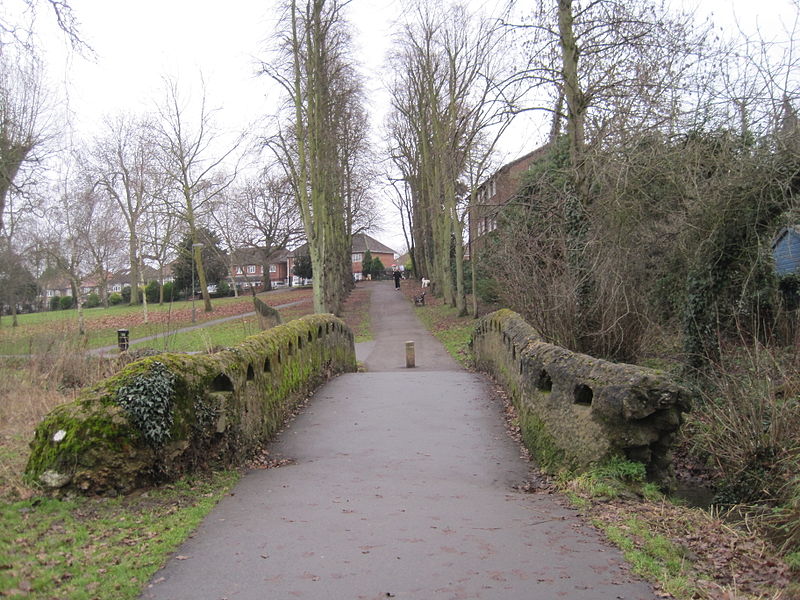
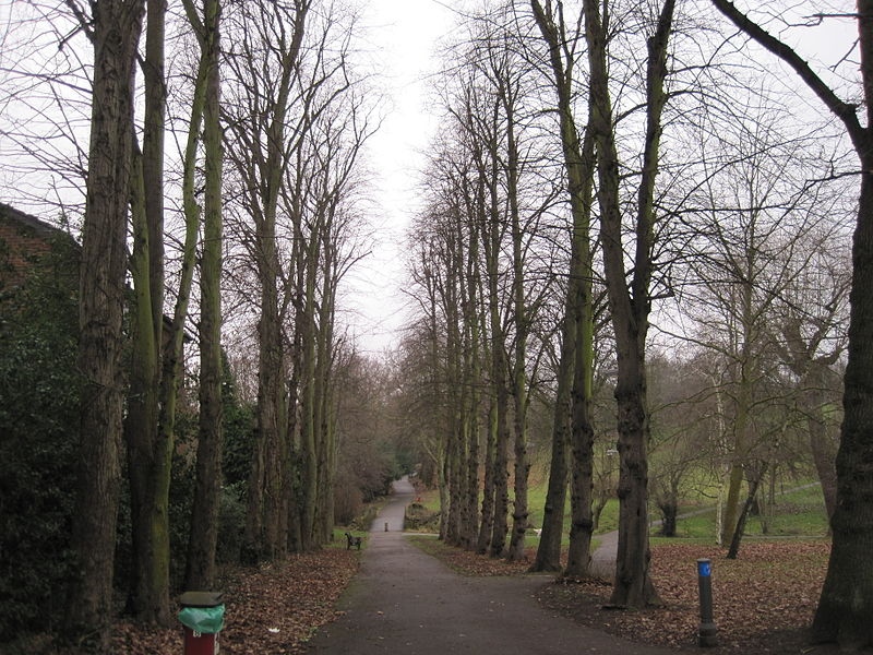
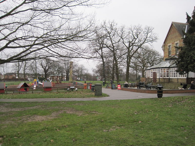
Friary Park is a nine hectare formal Edwardian park in Friern Barnet in the London Borough of Barnet. ()
Coordinates: 51°37'7"N, 0°9'45"W
Address
Barnet (Coppetts)London
ContactAdd
Social media
Add
Day trips
Friary Park – popular in the area (distance from the attraction)
Nearby attractions include: St Mary the Virgin, Church of St Cyril of Turau and All the Patron Saints of the Belarusian People, Christ Church North Finchley, St Pancras and Islington Cemetery.
Frequently Asked Questions (FAQ)
Which popular attractions are close to Friary Park?
Nearby attractions include Bethune Park, London (11 min walk), Friern Barnet, London (11 min walk), North Finchley, London (13 min walk), Woodhouse College, London (16 min walk).
How to get to Friary Park by public transport?
The nearest stations to Friary Park:
Bus
Train
Metro
Bus
- The Ridgeway • Lines: 234, 383, 634 (4 min walk)
- Hail & Ride Torrington Park • Lines: 383 (3 min walk)
Train
- New Southgate (23 min walk)
Metro
- Woodside Park • Lines: Northern (26 min walk)
- Totteridge & Whetstone • Lines: Northern (29 min walk)



 Tube
Tube


