Bethune Park, London
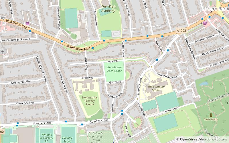
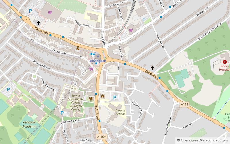
Map

Map

Facts and practical information
Bethune Park or Bethune Recreation Ground is a public park in Friern Barnet in the London Borough of Barnet. Most of it is mown grass, and it also has a large nature reserve area, a children's playground, a basketball court and a tennis court. ()
Elevation: 174 ft a.s.l.Coordinates: 51°37'11"N, 0°9'12"W
Address
Barnet (Coppetts)London
ContactAdd
Social media
Add
Day trips
Bethune Park – popular in the area (distance from the attraction)
Nearby attractions include: St Mary the Virgin, Christ Church North Finchley, Finchley War Memorial, Glebelands Local Nature Reserve.
Frequently Asked Questions (FAQ)
Which popular attractions are close to Bethune Park?
Nearby attractions include Friary Park, London (11 min walk), Friern Barnet, London (14 min walk), Barfield Allotments Nature Park, London (14 min walk), Woodhouse College, London (23 min walk).
How to get to Bethune Park by public transport?
The nearest stations to Bethune Park:
Bus
Train
Metro
Bus
- Beaconsfield Road • Lines: 251, 34 (6 min walk)
- The Ridgeway • Lines: 234, 383, 634 (8 min walk)
Train
- New Southgate (16 min walk)
Metro
- Totteridge & Whetstone • Lines: Northern (35 min walk)
- Southgate • Lines: Piccadilly (36 min walk)

 Tube
Tube


