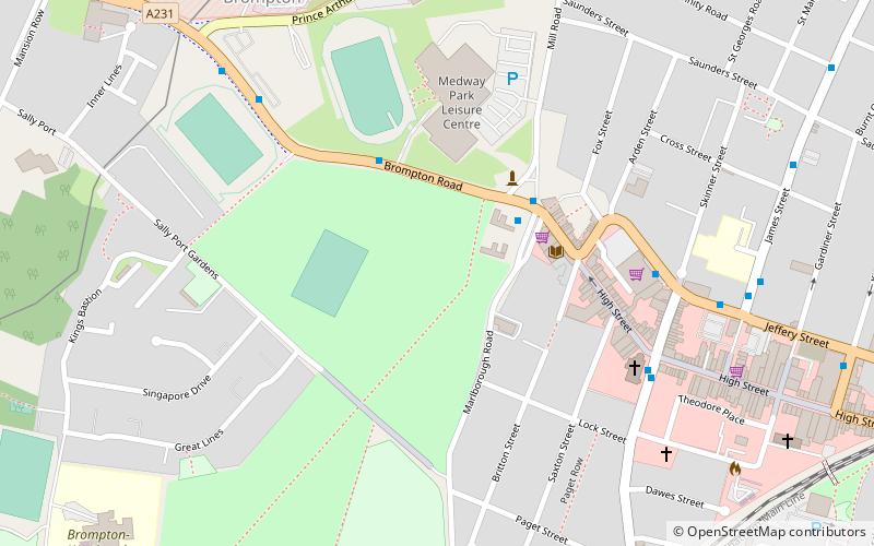
Garrison Stadium, Gillingham
Map

Map

Facts and practical information
Garrison Ground 2 was a cricket ground in Gillingham, Kent. The ground, which has also been known as the Royal Engineers Sports Ground and simply the Garrison Ground, was used by Kent County Cricket Club for first-class and List A cricket between 1937 and 1972 and was the home ground of the Royal Engineers Cricket Club until 1961. ()
Coordinates: 51°23'19"N, 0°32'26"E
Address
Chatham (Brompton)Gillingham
ContactAdd
Social media
Add
Day trips
Garrison Stadium – popular in the area (distance from the attraction)
Nearby attractions include: Pentagon Shopping Centre, The Historic Dockyard Chatham, Priestfield Stadium, Dockside Outlet Centre.
Frequently Asked Questions (FAQ)
Which popular attractions are close to Garrison Stadium?
Nearby attractions include Gillingham Library, Gillingham (3 min walk), The Monarch, Gillingham (4 min walk), Royal Engineers Museum, Gillingham (8 min walk), Chatham Naval Memorial, Gillingham (13 min walk).
How to get to Garrison Stadium by public transport?
The nearest stations to Garrison Stadium:
Bus
Train
Bus
- St Marks Church • Lines: 116 (6 min walk)
- Copenhagen Road • Lines: 116 (9 min walk)
Train
- Gillingham (11 min walk)
- Chatham (26 min walk)


